
 SetPaying for Seoul transport
 Hi, I’m SeoulAslan
Jongno Trail Course 4 Cheonggyecheon: Route, Stamp (2026)
Checked Oct 16, 2026
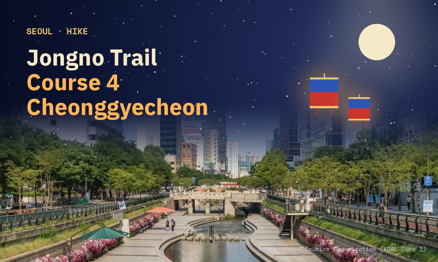
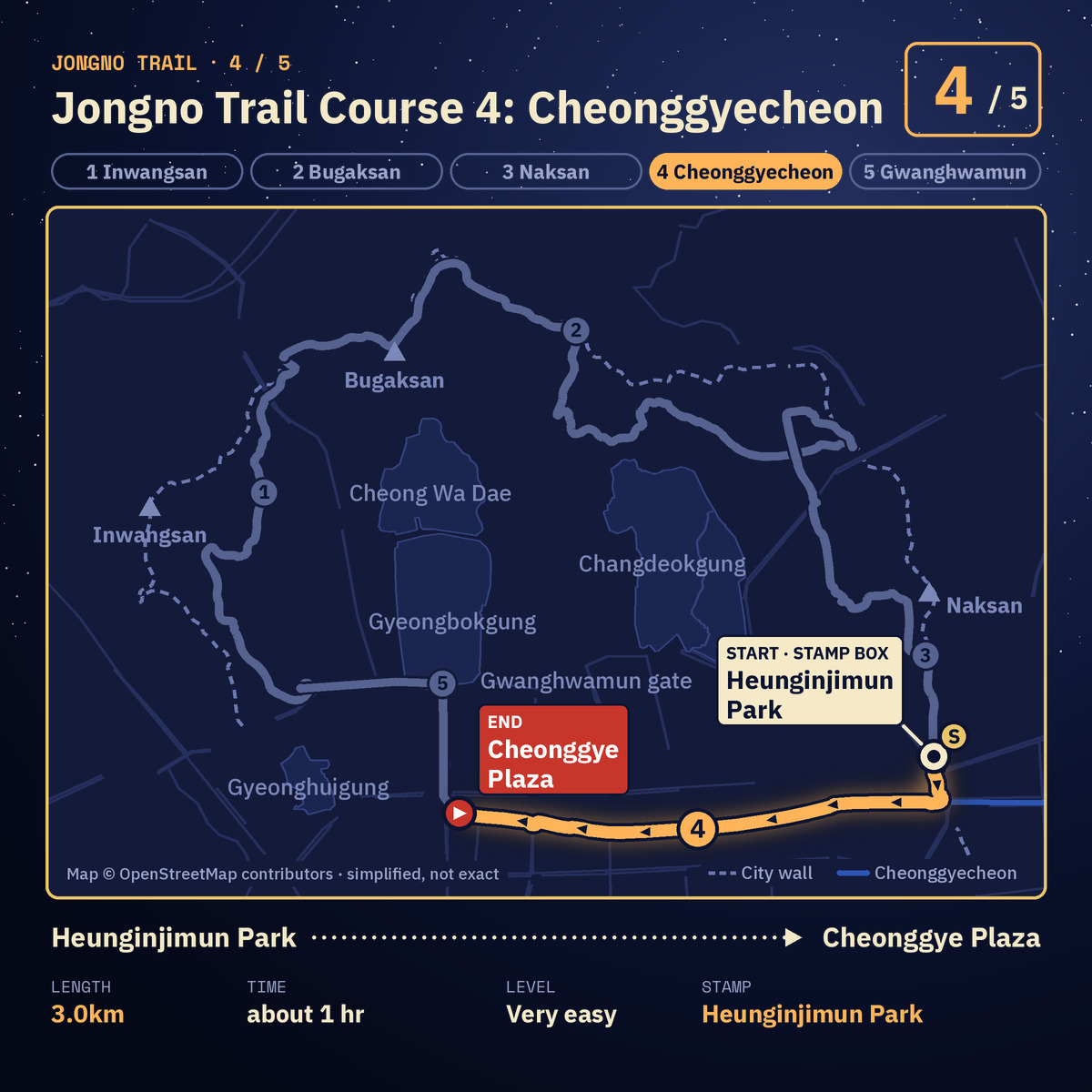
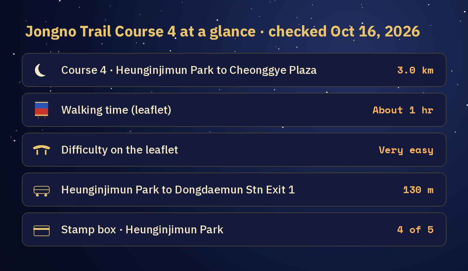
Course 4 of the Jongno Trail (종로둘레길) follows Cheonggyecheon (청계천), the stream through central Seoul. It is 3.0 km and takes about 1 hour. The official leaflet rates it "very easy", the easiest of the five courses. It runs from Heunginjimun Park (흥인지문공원), near Dongdaemun Station, west to Cheonggye Plaza (청계광장). The stamp box is at the start, in the park.
I have not walked Course 4 yet. This guide comes from the Jongno-gu leaflet and Seoul city sources, and I say where they disagree. It is the fourth of five guides, one per course of the Jongno Trail.
Jump to: What Course 4 is · Walking order · Stamp box · Stops worth a look · Rain · Getting there · FAQ
What is Jongno Trail Course 4?
The Jongno Trail is a loop of 5 courses through central Seoul, 15.8 km in total. Course 1 is the Inwangsan section, which also explains the stamp tour and the completion certificate. Course 4 starts at Heunginjimun Park, where Course 3 ends, and follows the stream west.
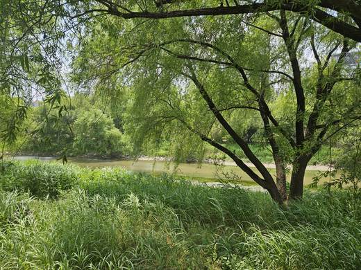
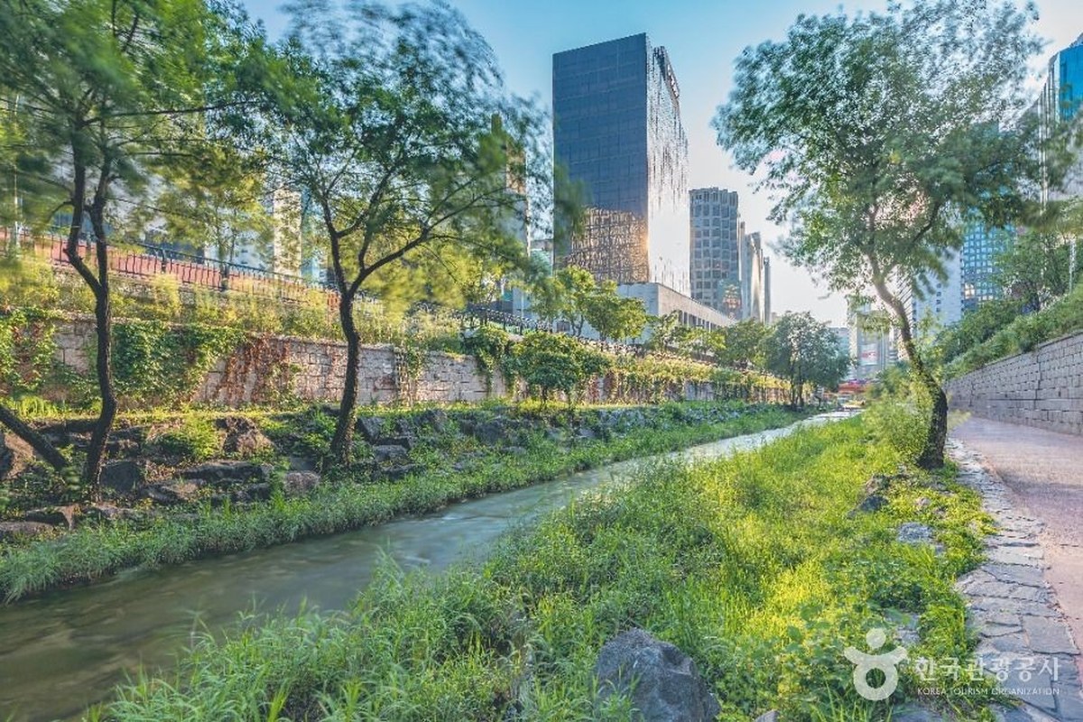
The leaflet describes this course as "culture in the city, enjoyed along the water". It calls the stream a resting place for citizens and an open-air cultural space, and says there is real fun in sitting by the water for a while.
Cheonggyecheon was restored and reopened to the public in October 2005. According to the Seoul city media hub, the restored walking path is 5.84 km long, from Cheonggye Plaza to where the stream meets the Jungnangcheon. Course 4 is a 3.0 km part of that, so it is a shorter walk than the whole stream.
In what order do you walk Course 4?
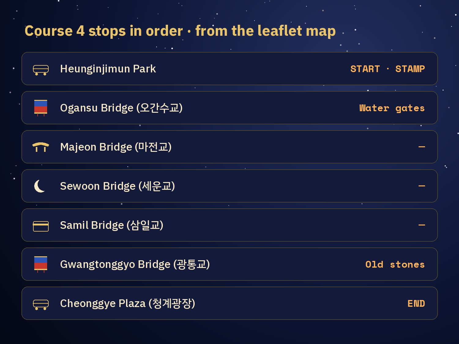
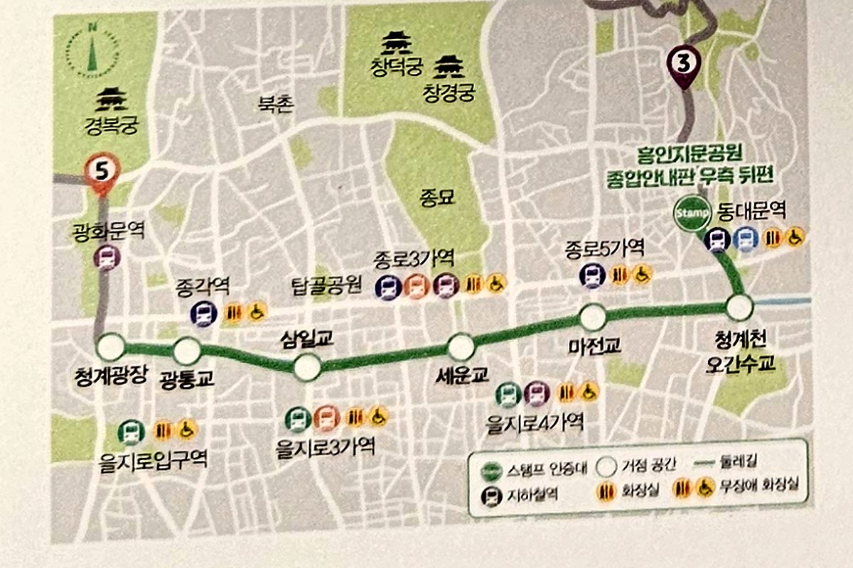
The leaflet map shows 7 stops. You start at Heunginjimun Park, go down to Ogansu Bridge (오간수교) and then pass Majeon Bridge (마전교), Sewoon Bridge (세운교), Samil Bridge (삼일교) and Gwangtonggyo Bridge (광통교) in turn. The course ends at Cheonggye Plaza.
The map draws it as one path along the water, heading west. The leaflet also marks subway stations along the way, including Jonggak, Jongno 3-ga and Jongno 5-ga, so you can climb out of the stream and leave early.
Where is the Course 4 stamp box?
The leaflet puts the stamp box at Heunginjimun Park, behind and to the right of the general information board. A 2024 city article about the trail opening instead says "in front of the crosswalk south of Heunginjimun Park". Both descriptions point to the area around the park, so look around its entrance before you give up. In the app you need to be within 100 m of the box to tap "Get stamp" (스탬프 받기).
How the paper stamp book, the Jongno Pick app and the certificate work is explained in the Course 1 guide. You need all five stamps for the certificate.
What is worth a stop on Course 4?
Ogansu Bridge (오간수교). It stands on the site of Ogansumun (오간수문), a water gate of the Hanyang city wall. The gate had five arch-shaped openings and carried the stream out beyond the wall. The current bridge was rebuilt in 2004 from remains found during the stream restoration, according to the city media hub.
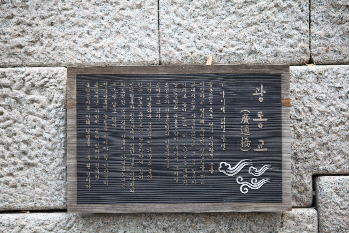
Gwangtonggyo Bridge (광통교). It is the second bridge counting from Cheonggye Plaza. It was first built of earth, and King Taejong rebuilt it in stone. City sources say he used stones from the tomb of Queen Sindeok (신덕왕후) for it. There is an information plaque at the bridge.
Cheonggye Plaza (청계광장). This is where Cheonggyecheon begins, and it is always open. The Seoul Facilities Corporation (서울시설공단) answers questions on 02-2290-7111. Course 5 starts here, so you can keep walking: Jongno Trail Course 5: Gwanghwamun.
Gwangjang Market (광장시장), off the route. It is a traditional market with more than 100 years of history, and Seoul has designated it a Future Heritage site. The leaflet calls it Korea's first permanent market. It is not one of the 7 stops, so plan a detour. Use Jongno 5-ga Station (Line 1) Exit 8, or Euljiro 4-ga Station (Lines 2 and 5) Exit 4. The city article gives 100 m from the Euljiro exit and no distance for the Jongno 5-ga exit.
Can you walk Cheonggyecheon when it rains?
The stream is open at all times, but when it rains the walkway can be closed for safety. The Seoul Facilities Corporation website posts closure and reopening notices for the Cheonggyecheon walkway many times. The notice titles do not say what rain level triggers a closure, so on a day with rain in the forecast, check before you leave. You can also ask the corporation on 02-2290-6114.
Cheonggyecheon, Gyeongbokgung, and the mountains that wrap around Gyeongbokgung: put together, I think that is a very good course.
How do you get to Course 4?
- Take Subway Line 1 or 4 to Dongdaemun Station (동대문역) and leave by Exit 1.
- Heunginjimun Park (흥인지문공원) is about 130 m from the exit. Find the stamp box.
- Walk the stream west to Cheonggye Plaza. On the leaflet map, Euljiro 1(il)-ga Station (을지로입구역) is the nearest station there.
If you want the market on the way, leave at Jongno 5-ga Exit 8 or Euljiro 4-ga Exit 4 and come back down to the stream. New to the subway? Seoul Subway Basics for First-Timers covers the cards and the transfers.
Naver Map pins
| # | Place | Naver Map |
|---|---|---|
| 1 | Dongdaemun Station, Exit 1 (동대문역 1번 출구) | Open |
| 2 | Heunginjimun Park (흥인지문공원) · start and stamp box | Open |
| 3 | Ogansu Bridge (오간수교) | Open |
| 4 | Gwangtonggyo Bridge (광통교) | Open |
| 5 | Cheonggye Plaza (청계광장) · end | Open |
| 6 | Gwangjang Market (광장시장) | Open |
| 7 | Jongno 5-ga Station, Exit 8 (종로5가역 8번 출구) | Open |
New to Naver Map? Naver Map vs Kakao Map vs Google Maps in Korea explains it.
FAQ
Is Course 4 good for a first walk on the Jongno Trail?
The leaflet rates it "very easy", the easiest of the five, at 3.0 km and about 1 hour. Bugaksan, Course 2, is the one rated "somewhat hard".
Do I walk the whole of Cheonggyecheon on this course?
No. The restored walkway is 5.84 km, and Course 4 is 3.0 km, from Heunginjimun Park to Cheonggye Plaza.
Is Cheonggyecheon closed at night or in the rain?
It is open at all times. The walkway can be closed for safety in rain, and the Seoul Facilities Corporation posts the closure and reopening notices on its website.
Can I visit Gwangjang Market during Course 4?
Yes, but it is a detour, not a stop on the course. Get out at Jongno 5-ga Station Exit 8 or Euljiro 4-ga Station Exit 4; the city article puts the Euljiro exit 100 m from the market.
Where does Course 4 lead next?
Course 4 ends at Cheonggye Plaza, where Jongno Trail Course 5: Gwanghwamun begins. Before it, Course 3 is the Naksan section, which ends at Heunginjimun Park. I will update the Checked date here if the stamp box, the leaflet or the closure rules change.
More on the Jongno Trail
Sources
- Jongno-gu leaflet "Let's walk together, Jongno Dulle-gil" (같이 걸어요 종로둘레길, Korean), seen Oct 15, 2026
- Seoul Metropolitan Government media hub (Korean): Jongno Dulle-gil opening article, Nov 2024 · The 22 bridges of Cheonggyecheon, Sep 12, 2025 · Cheonggyecheon bridges, 2019 · Cheonggyecheon to Gwangjang Market walking course, Sep 11, 2025
- Seoul Facilities Corporation (서울시설공단): Cheonggyecheon page and its Korean walkway closure notices
- Korea Tourism Organization (한국관광공사), Cheonggyecheon and Cheonggye Plaza entries (opening, inquiries)
- Photos: Korea Tourism Organization photo gallery, Korea Open Government License Type 1 (credited; cropped to size)
— SeoulAslan


Comments
Post a Comment