
 SetPaying for Seoul transport
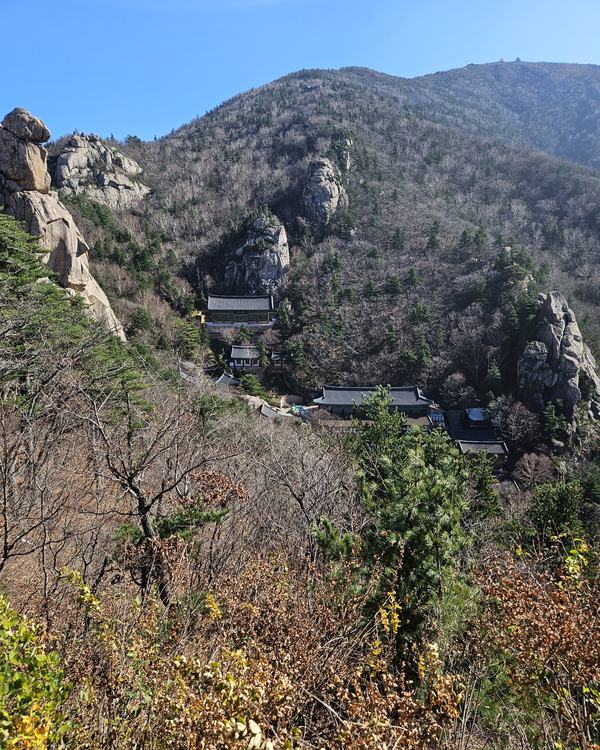
 Hi, I’m SeoulAslan
Bugaksan History: Why It Was Closed, Why It Matters (2026)
Checked Oct 16, 2026
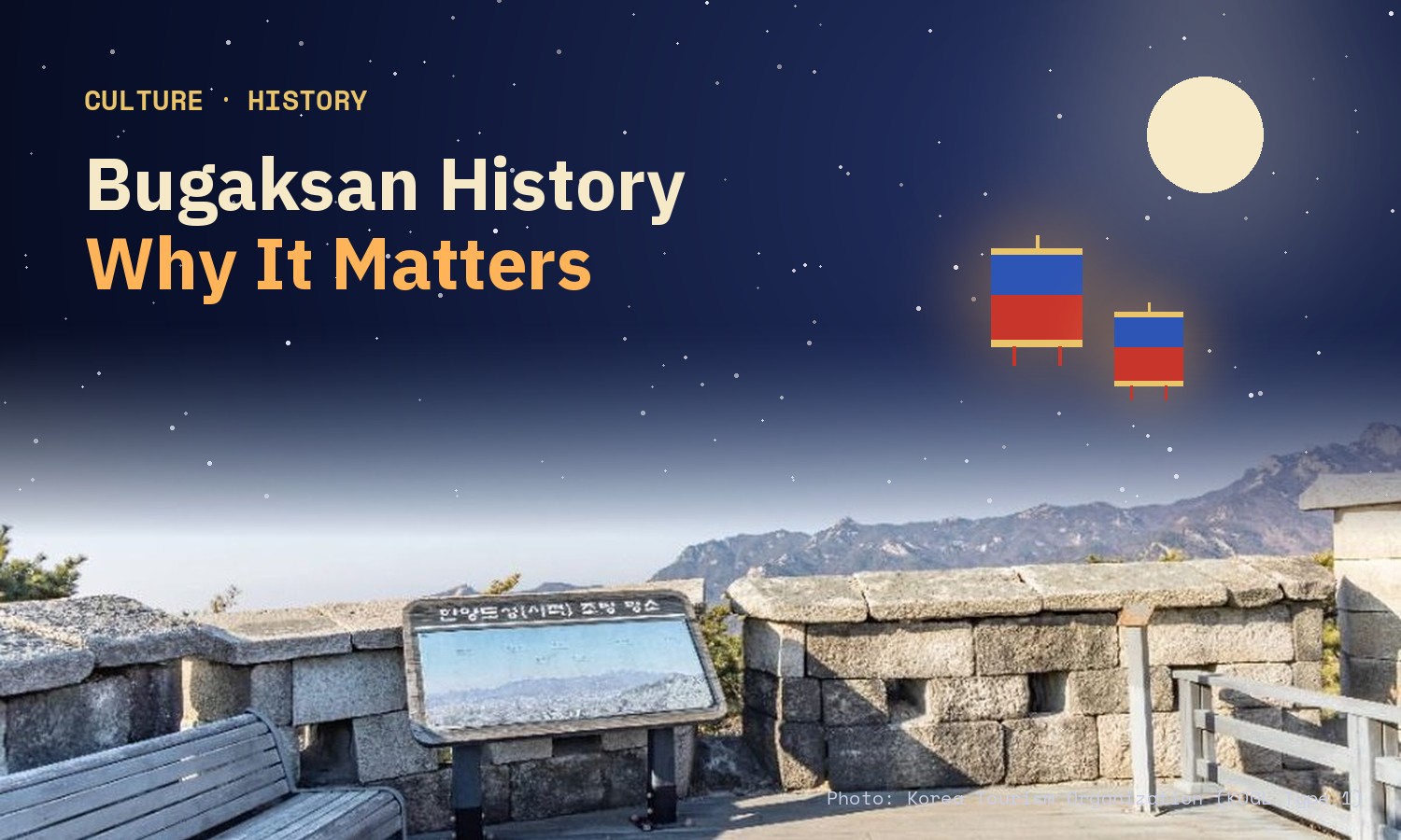
Bugaksan (북악산), written Baegaksan (백악산) in official notices, is the 342 m granite mountain directly behind Gyeongbokgung and Cheong Wa Dae. Joseon's founders made it the main mountain of their capital and ran the Seoul city wall over its ridge. After a North Korean commando raid on Jan 21, 1968, it was closed for decades. It has reopened in stages since 2006, ending with a third stage on Oct 17, 2026. Today you can walk it for free, 24 hours a day, on designated trails.
Bugaksan sits right behind Gyeongbokgung, and right behind Cheong Wa Dae. I climbed it on Wednesday, Oct 14, and then wanted to know what the mountain means, not only how to walk it. This guide is that answer: the history first, then how to enjoy the trails today.
Jump to: Why this mountain · Jan 21, 1968 · Why it was closed · How it reopened · Walking it today · Rules · Nearby · FAQ
Why did Joseon build its capital under Bugaksan?
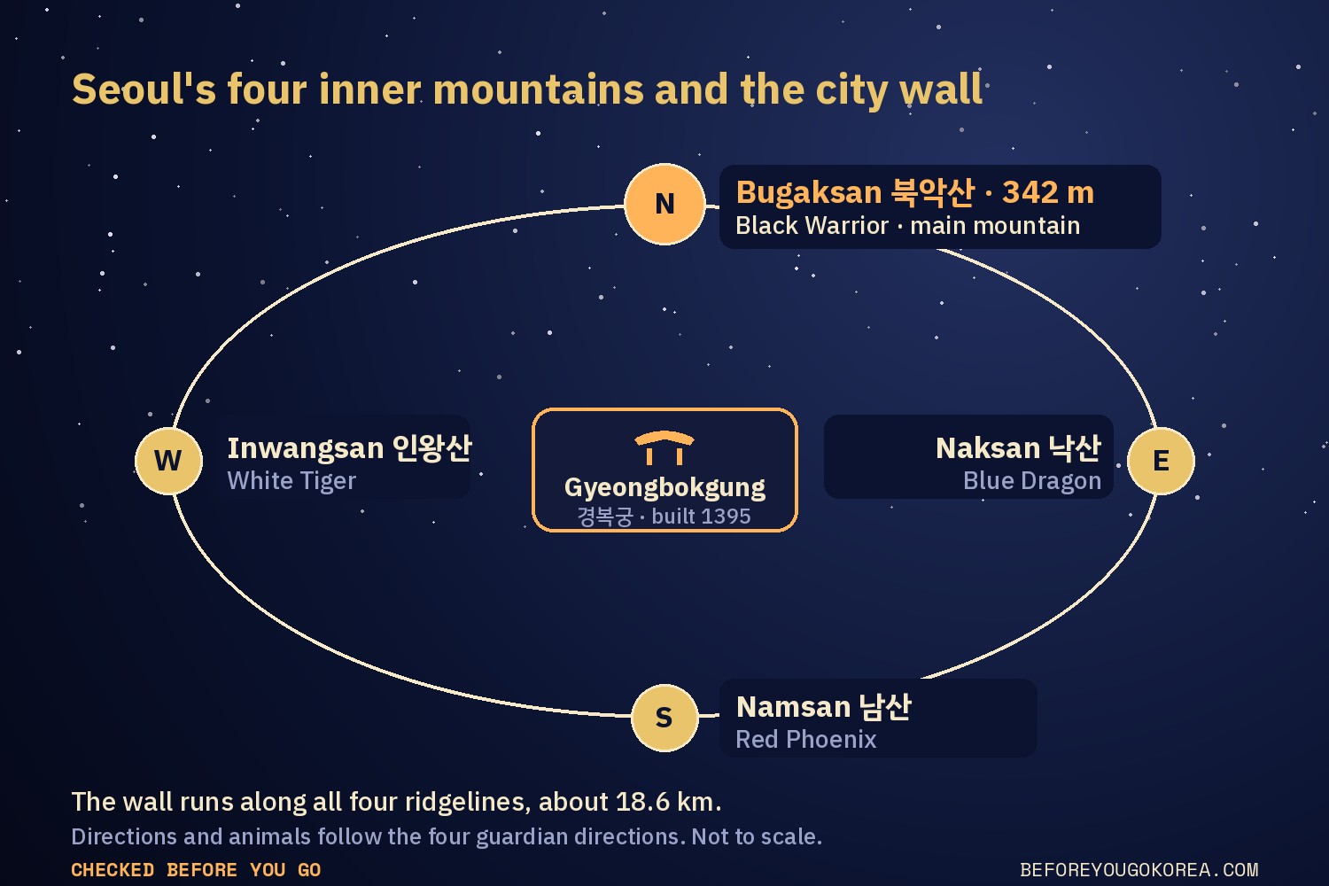
When Joseon moved its capital to Hanyang, today's Seoul, feng shui (pungsu) guided the layout. A Seoul Shinmun history column says that, following feng shui principles, Baegak was chosen as the main mountain (주산) and the royal palace was set below it, facing south. The Encyclopedia of Korean Culture calls Bugaksan the main mountain of Seoul. Gyeongbokgung was built in 1395, at the heart of the new capital.
Seoul sits inside four inner mountains: Bugaksan to the north, Naksan to the east, Inwangsan to the west and Namsan to the south. Visit Seoul links the four directions to four guardian animals: the Black Warrior in the north, the Blue Dragon in the east, the White Tiger in the west and the Red Phoenix in the south. The city wall, first built in 1396, follows the ridgelines of all four mountains and is about 18.6 km long in total.
The wall starts on top of Bugaksan. The official leaflet (Korea Heritage Service and Korea Heritage Agency) says the summit, Baegakmaru (백악마루), is the starting point, and the Seoul City Wall site calls it the first section of the wall, named 天 (heaven) after the opening character of the Thousand Character Classic.
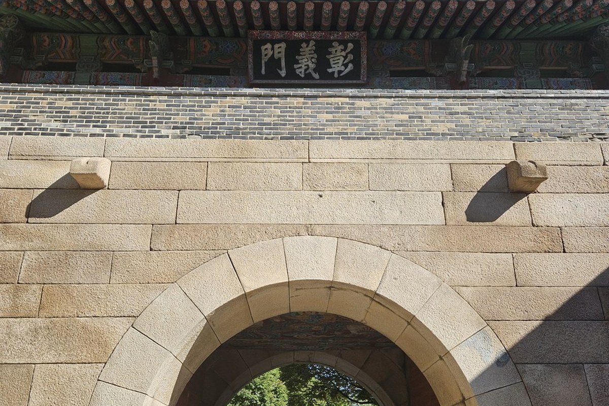
Two gates of the wall are on this mountain. Sukjeongmun (숙정문) is the north gate. Changuimun (창의문) is a small gate, and the Seoul City Wall site says it is the only one of the four small gates whose Joseon-era gate tower is still standing. A geomancer argued that both should stay closed to protect the earth's energy running toward Gyeongbokgung, and Sukjeongmun stayed shut for an extended period.
What happened on Jan 21, 1968?
On the night of Jan 21, 1968, 31 armed North Korean commandos from the army's 124th unit reached Seoul. Korean reports say their target was Cheong Wa Dae and President Park Chung-hee. Police stopped the group at a checkpoint on the road toward Cheong Wa Dae, and gunfire followed. The commandos scattered across northern Seoul, and some fled up Bugaksan and fought soldiers there. Police officers and civilians, including passengers on a city bus, were killed. One commando, Kim Shin-jo, was captured alive.
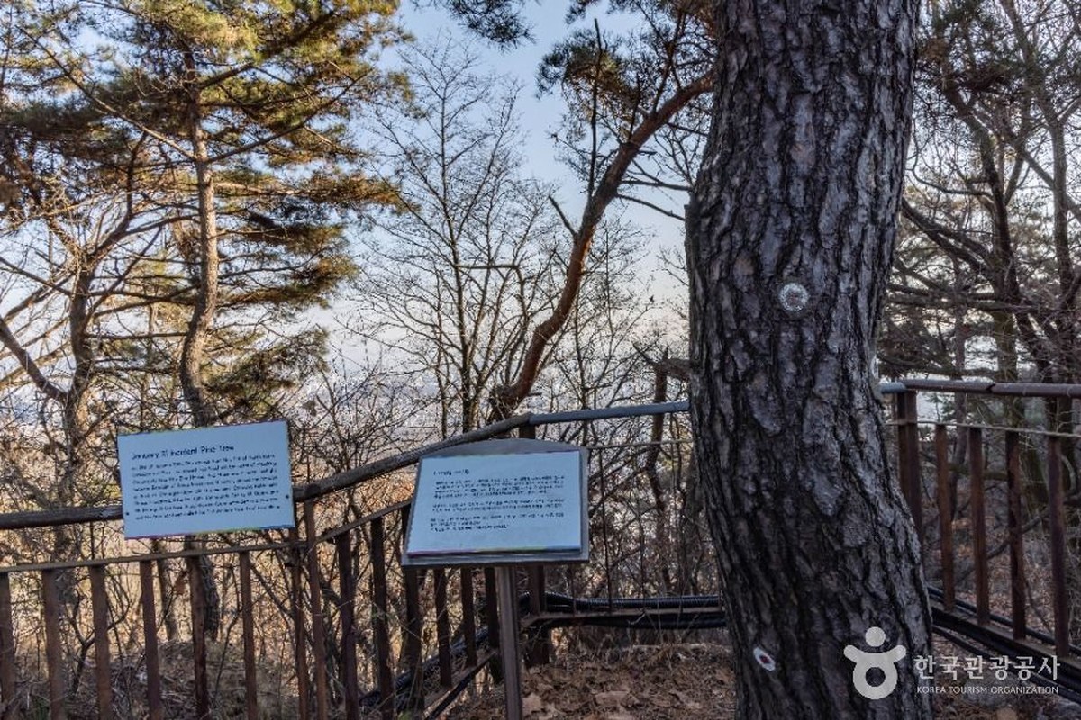
The 1.21 Incident Pine (1·21사태소나무) still carries marks from that fight. The Seoul City Wall site says the tree is about 200 years old and bears the traces of about 15 bullets. It stands on the path that runs down from the summit toward Cheongundae. The stage 3 trail (Oct 17, 2026) ends at this tree.
Why was Bugaksan closed for so long?
After the raid, the area became a military protection zone, according to the Encyclopedia of Korean Culture. The official leaflet gives the reason: access to the Bugaksan section of the wall was restricted for decades as part of the security measures protecting Cheong Wa Dae (the presidential office and residence complex) and nearby military facilities. Seoul's city wall site says public access was limited for about forty years, until 2007.
Cheong Wa Dae's own role has changed too. It was South Korea's presidential office from 1948. It opened to the public in May 2022, when the presidential office moved to Yongsan. The office moved back in late 2025. Tours of the compound have been paused since Aug 1, 2025, and a Sep 17, 2026 report (Edaily) said they had not restarted. Check the official Cheong Wa Dae site before you plan a visit.
How did Bugaksan reopen, step by step?
It reopened one section at a time. The Korea Heritage Service, the Presidential Security Service, Seoul city, Jongno-gu and the Korea Heritage Agency all worked on the latest stage.
| When | What changed |
|---|---|
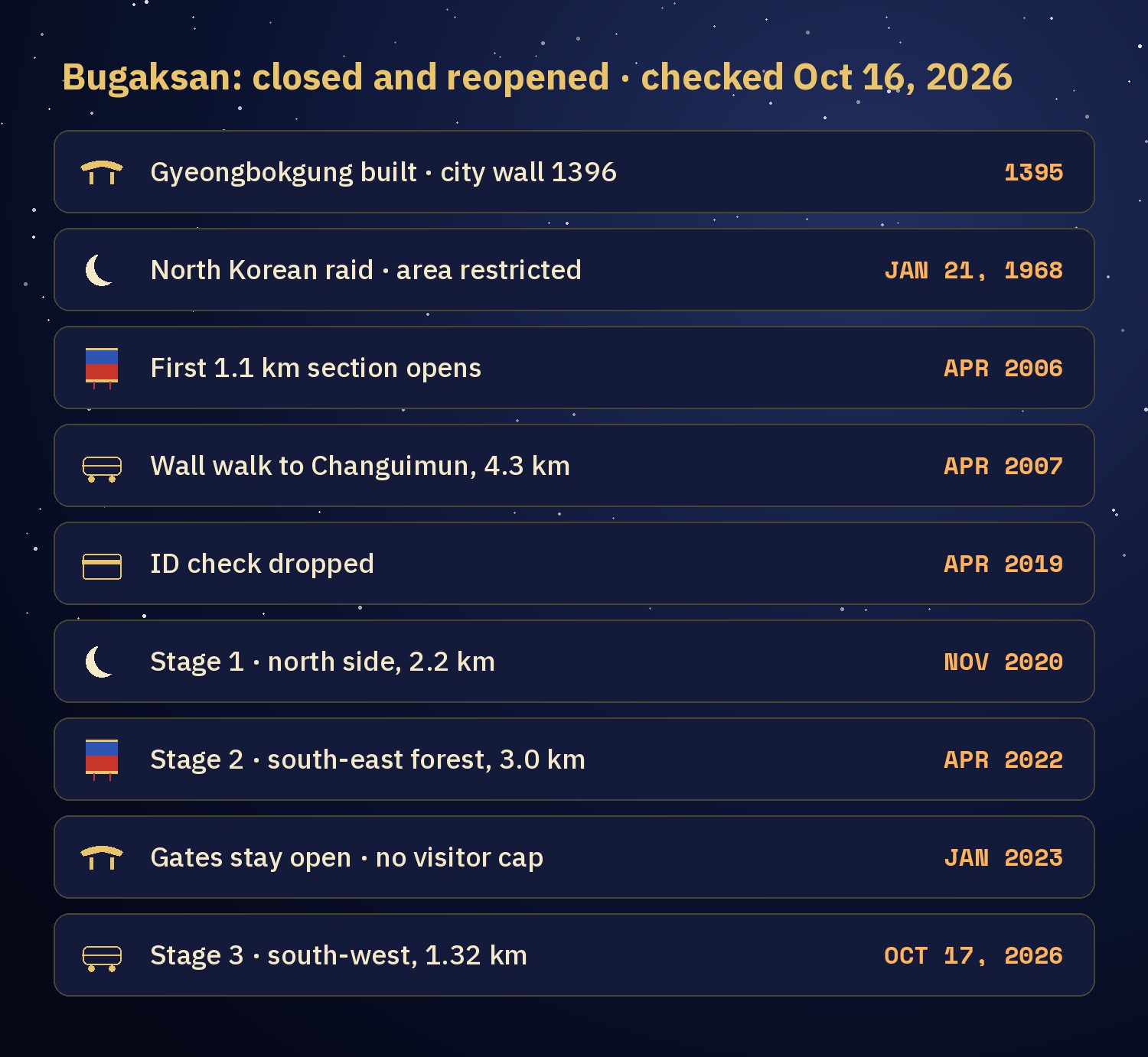
| Jan 21, 1968 | Raid. The area is restricted afterward. |
| Apr 1, 2006 | First 1.1 km opens, from Hongnyeonsa temple past Sukjeongmun to Candlestick Rock (촛대바위) |
| Apr 5, 2007 | A 4.3 km wall walk opens from Waryong Park over the summit to Changuimun |
| Apr 5, 2019 | ID check dropped |
| Nov 1, 2020 | Stage 1: the north side of the wall behind Cheong Wa Dae (about 2.2 km, per the Korea Heritage Service) |
| Apr 2022 | Stage 2: the south-east forest around Samcheong Park and Cheongundae (about 3.0 km, per the Korea Heritage Service) |
| Jan 1, 2023 | Gates stop opening and closing. Self-entry system, no visitor limit. |
| Oct 17, 2026, 9:00 am | Stage 3: a new 1.32 km trail on the south-west slope |
Stage 3 starts at Dolphin Shelter (돌고래쉼터), the first rest stop above Changuimun. It passes the fork for the Cheong Wa Dae viewpoint and the Manse Dongbang spring (만세동방), where a rock carries an inscription wishing a king long life. It ends at the 1.21 Incident Pine. The trail looks down on Inwangsan, Namsan, Cheong Wa Dae and Gyeongbokgung, and four new viewpoint rest areas were built along it. The Korea Heritage Service says this joins the main trails of the mountain into one network. The Bugaksan hike guide has the stage 3 details.
The mountain is also formally protected. The area was designated Scenic Site No. 67, "Seoul Baegaksan Area" (명승 제67호 서울 백악산 일원), on Dec 9, 2009, and the Seoul City Wall on its ridge is a designated Historic Site.
How can you enjoy Bugaksan today?
Pick a route by the time you have. All four start at or pass Changuimun.
| Route | Length and time | What you see |
|---|---|---|
| Changuimun to the summit and back | About 0.83 km each way (my calculation) · 30 minutes up, about 1 hour round trip (my walk) | Old wall, stairs, the 342 m summit marker |
| Stage 3 trail (Oct 17, 2026) | 1.32 km from Dolphin Shelter · no official walking time listed | Four new viewpoints, Manse Dongbang spring, the 1.21 Incident Pine |
| Seoul City Wall, Baegak section | 4.7 km, Changuimun to Hyehwamun (혜화문) · about 3 hours · five stars for difficulty | Summit, Cheongundae, Sukjeongmun, Malbawi rock |
| Jongno Trail Course 2 | 4.8 km · about 2.5 hours · to Seongbuk Historic Park (Jongno-gu trail map) | Stamp box at Changuimun, Samcheong Park. See Course 2. |
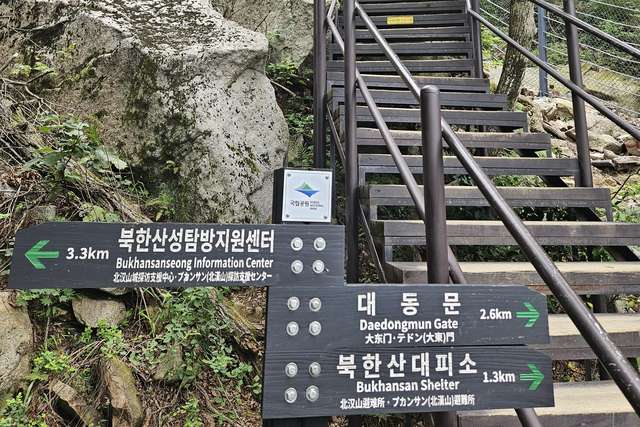
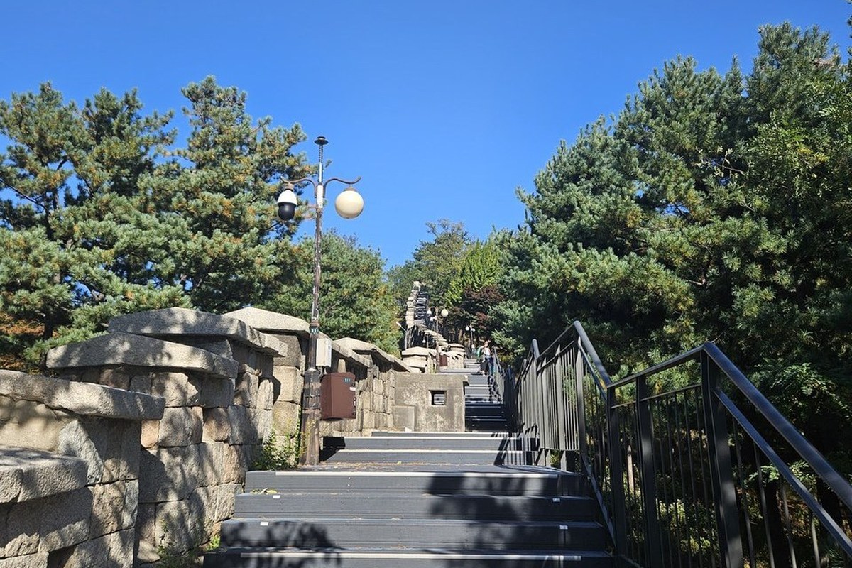
I only walked the first route. I walked up from Changuimun to the summit marker on Oct 14, and it took about 30 minutes from the first stair. The stairs begin just after the gate and run beside the old wall.
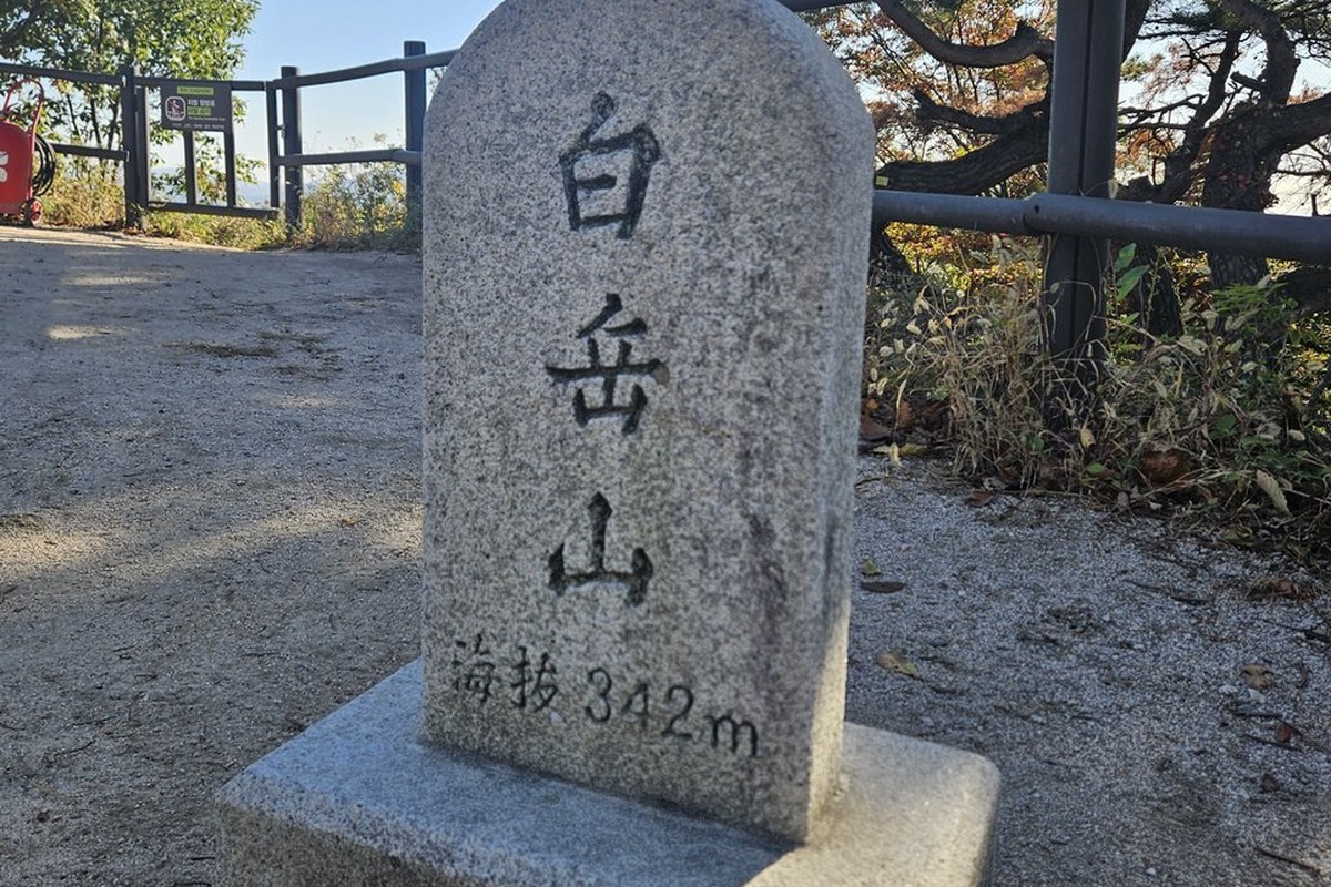
The summit has a flat clearing and a stone marker carved 白岳山 (Baegaksan) and 海拔 342m, the height above sea level. This is where the wall begins.
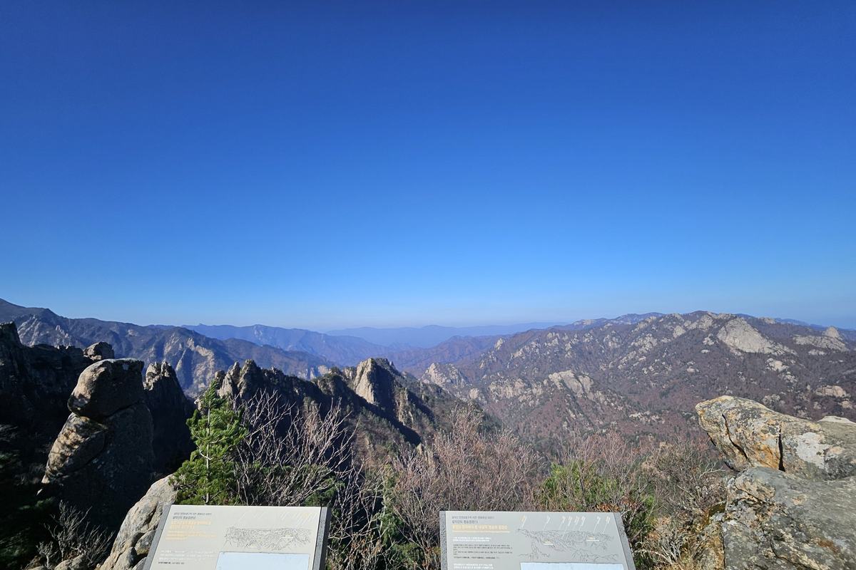
On the longer wall walk, the leaflet calls Cheongundae (청운대) one of the finest viewpoints on the whole wall. To the south you see Gyeongbokgung, Gwanghwamun and the Sejong-ro area, and to the north the Bukhansan ridge. From there you can see how the palace sits below the mountain. I wonder how pretty Gyeongbokgung looks from those mountains.
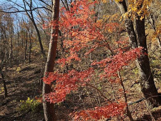
Pick the hours by season. Seoul's recommended hours are 09:00 to 17:00 from November to February, 07:00 to 18:00 in March, April, September and October, and 07:00 to 19:00 from May to August. The trail is open 24 hours but has no lights. Choose a dry day: the leaflet says the trail may close in heavy rain, extreme heat or heavy snow. Autumn gives the shorter window, because the recommended hours end at 18:00. For autumn color on the Course 2 side, Samcheong Park has maple and ginkgo trees.
What are the rules on Bugaksan, and why?
The official leaflet says the Baegaksan area is a military facility and a protected military zone. That is why some rules are stricter than on other Seoul hikes.
- Stay on the designated trail. Drone flights and photography of military bases and facilities, including equipment, are strictly prohibited (leaflet).
- Photos only at designated spots (Korea Heritage Agency). On Oct 14 I saw signs on the way asking visitors not to take photos in certain directions.
- No alcohol, no smoking, no lighters or matches, and no cooking (leaflet and Korea Heritage Agency).
- No parking. Come by public transport.
- No restrooms along the trail (leaflet). Use one before you start, and take all your waste home.
- Rest only at the rest areas, because the path is narrow. Avoid heavy snow, heavy rain and typhoons, and avoid night visits.
Do you need an ID? No. The ID check ended in April 2019, and since Jan 1, 2023 the gates no longer open and close.
What can you combine with Bugaksan?
- Gyeongbokgung (경복궁). The palace the mountain stands behind. It is closed on Tuesdays. For palace dates, see Seoul Palaces Free Entry Oct 29 to Nov 15.
- Yun Dong-ju Literary Museum (윤동주문학관). Across from Changuimun is a hill dedicated to Yun Dong-ju, one of Korea's most beloved poets, and the museum shows his handwritten manuscripts. The bus stop for Changuimun is named after the poet's hill.
- Seokpajeong (석파정). The villa of Heungseon Daewongun in Buam-dong, now inside Seoul Museum of Art (석파정 서울미술관). Check its opening days before you go.
- Seochon (서촌). The old neighborhood west of Gyeongbokgung, with hanok houses and small alleys.
- The wall walk. Continue over the ridge to Hyehwamun, a 5-minute walk from Hansung Univ. Station (Line 4) Exit 5, or follow the Jongno Trail.
How do you get to Changuimun?
- Take Subway Line 3 to Gyeongbokgung Station (경복궁역) and leave by Exit 3.
- Take a green branch bus: 1020, 7022 or 7212.
- Get off at the Jahamun Pass (자하문고개) stop. Changuimun is a 2-minute walk.
For bus tapping and cards, see How to Ride a Seoul Bus.
Naver Map pins
| # | Place | Naver Map |
|---|---|---|
| 1 | Changuimun information center (창의문안내소) · start | Open |
| 2 | Gyeongbokgung Station, Exit 3 (경복궁역 3번 출구) | Open |
| 3 | Gyeongbokgung (경복궁) | Open |
| 4 | Cheong Wa Dae (청와대) | Open |
| 5 | Sukjeongmun (숙정문) · north gate | Open |
| 6 | Yun Dong-ju Literary Museum (윤동주문학관) | Open |
| 7 | Seoul Museum of Art Seokpajeong (석파정 서울미술관) | Open |
| 8 | Seochon (서촌마을) | Open |
New to Naver Map? Naver Map vs Kakao Map vs Google Maps in Korea explains it.
FAQ
Is it Bugaksan or Baegaksan?
It is the same mountain. The Korea Heritage Service uses Baegaksan (백악산) in its press release and in the Scenic Site name, and tourism sites still use Bugaksan (북악산).
What was the Jan 21 incident?
On Jan 21, 1968, 31 North Korean commandos entered Seoul, and Korean reports say their target was Cheong Wa Dae. They were stopped by police near the presidential compound, and soldiers fought some of them on Bugaksan. The 1.21 Incident Pine still shows the bullet marks.
Can you see Cheong Wa Dae from the trail?
The stage 3 trail has a fork for the Cheong Wa Dae viewpoint, and the trail looks down on Cheong Wa Dae, Gyeongbokgung and Gwanghwamun, according to the Korea Heritage Service. Photos are allowed only at designated spots, and photographing military facilities is banned.
Can you visit inside Cheong Wa Dae?
Tours of the compound have been paused since Aug 1, 2025, ahead of the presidential office's return. Check the official Cheong Wa Dae site for the current status.
Do I need to show ID to hike Bugaksan?
No. The Korea Heritage Agency says the ID check was dropped in April 2019, and the trail has been self-entry with no visitor limit since Jan 1, 2023.
After you have seen the mountain
On the Jongno Trail, the mountain that wraps around Gyeongbokgung is Course 2, and the Course 2 guide has the stamp box and the full order of stops. After the 17th I want to walk the new path too. I will add what I find to the Bugaksan hike guide, and I will fix the Checked date here if a rule or an opening changes.
More on the Jongno Trail
Sources
- Official leaflet "Baegaksan Mountain Trail along the Seoul City Wall" (English, with Korea Heritage Service and Korea Heritage Agency logos), picked up on site, and the Baegaksan trail map in it, seen Oct 15, 2026
- Korea Heritage Service (국가유산청, Korean), press release on the three-stage opening of Baegaksan, Oct 14, 2026: Policy Briefing
- Korea Heritage Agency (국가유산진흥원), Baegaksan Hanyangdoseong (Korean): history of the opening · Changuimun directions · self-entry rules · visitor notes
- Seoul City Wall (Seoul Metropolitan Government): Baegak Mountain Trail, English · Korean page
- Seoul Metropolitan Government media hub (Korean): the 1.21 pine · southern section opening, April 2022 · the city wall
- Encyclopedia of Korean Culture (Korean): Seoul Baegaksan area · Seoul
- Korea Heritage Service, Heritage Portal (Korean): Scenic Site, Seoul Baegaksan Area
- Seoul Shinmun (Korean): Seoul place names column on Baegak · feng shui column on the north gates · 1.21 incident report
- Visit Seoul: Viewing Bugaksan Mountain via Feng Shui · Gyeongbokgung · VISITKOREA, Gyeongbokgung
- The 1968 raid: Korea JoongAng Daily · The Korea Times
- Cheong Wa Dae (Korean and English news): Jeonbuk Ilbo, opening in May 2022 · AP report, May 2022 · Jeonbuk Ilbo, return in Dec 2025 · Newsis, tours paused Aug 1, 2025 · SBS Biz · Edaily, Sep 17, 2026
- Yun Dong-ju Literary Museum, Jongno Foundation for Arts and Culture (Korean) · Seochon: Seoul Metropolitan Government · VISITKOREA
- Map measurement: © OpenStreetMap contributors (my calculation, not an official figure)
- Photos: three taken by me on Oct 14, 2026 (location data removed), two from the Korea Tourism Organization photo gallery, Korea Open Government License Type 1 (credited; cropped to size)
— SeoulAslan


Comments
Post a Comment