
 SetPaying for Seoul transport
 Hi, I’m SeoulAslan
Jongno Trail Course 2 Bugaksan: Route, Stairs, Stamp (2026)
Checked Oct 16, 2026
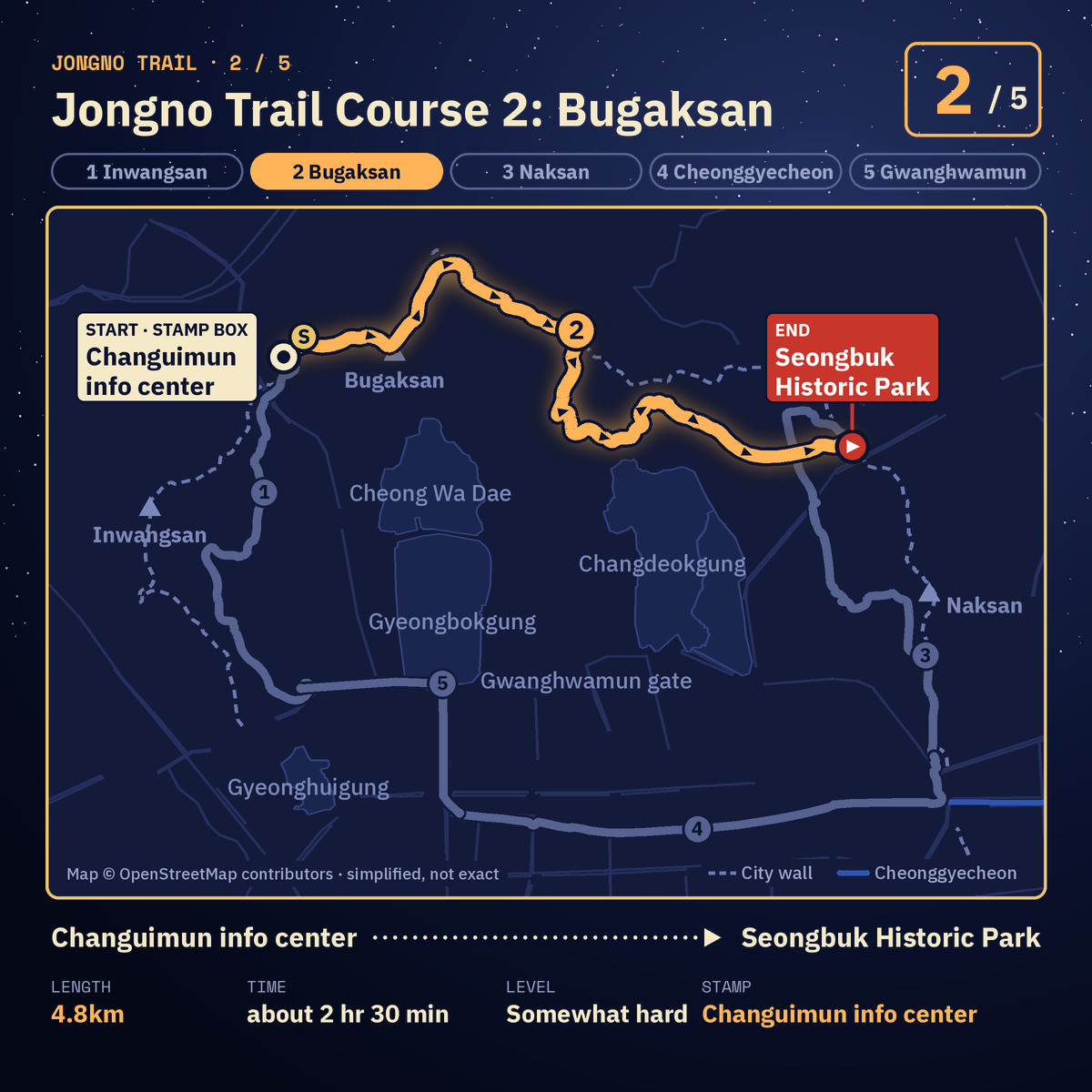
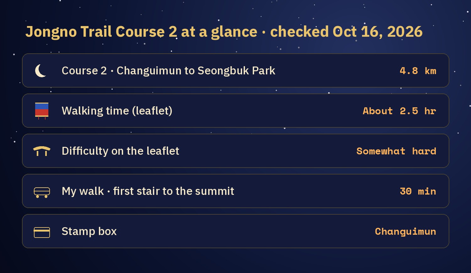
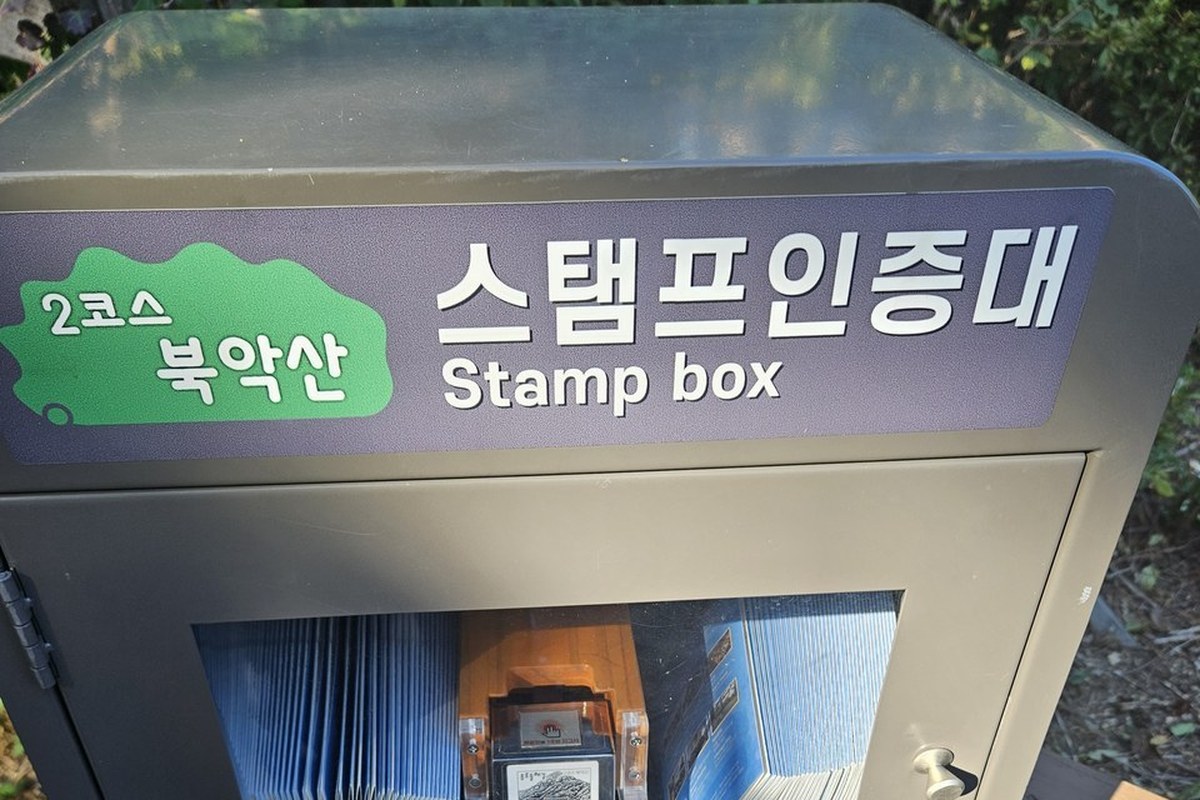
Course 2 of the Jongno Trail (종로둘레길) is the Bugaksan (북악산) section, and it is the hardest of the five. It is 4.8 km and takes about 2.5 hours. The official leaflet marks it "somewhat hard", the only course with that rating. It runs from the Changuimun information center (창의문안내소) over the mountain to Seongbuk Historic Park (성북역사문화공원). The stamp box is at the start, in front of Changuimun gate.
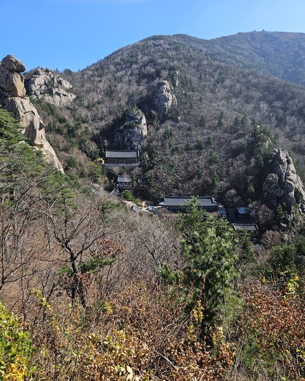
I walked part of this course on Wednesday, Oct 14. From the first stair at Changuimun it took me 8 minutes to reach Dolphin Shelter and 30 minutes to reach the summit marker. Almost all of that is stairs, so I understand why the leaflet marks this course as the hard one.
Jump to: What Course 2 is · Walking order · My walk · Stops worth a look · Rules · Getting there · FAQ
What is Jongno Trail Course 2?
The Jongno Trail is a loop of 5 courses through central Seoul, 15.8 km in total. Course 1 is the Inwangsan section, and it explains how the stamp tour and the certificate work. Course 2 starts where Course 1 ends.
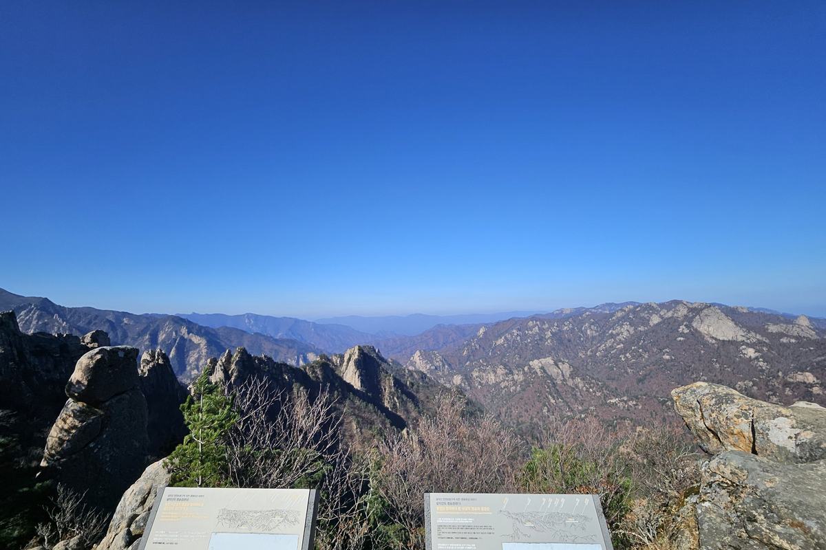
This is the longest course of the five. The leaflet calls it "the Bugaksan that came back to citizens". It says you can look down on Gyeongbokgung, Gwanghwamun and Cheong Wa Dae from a forest path that stayed closed for a long time. The mountain was restricted after the Jan 21, 1968 North Korean raid and was reopened in steps. A third stage, a new 1.32 km trail on the southwest side, is set to open on Oct 17, 2026 at 9:00 am, according to the Korea Heritage Service. The Bugaksan hike guide has the details.
In what order do you walk Course 2?
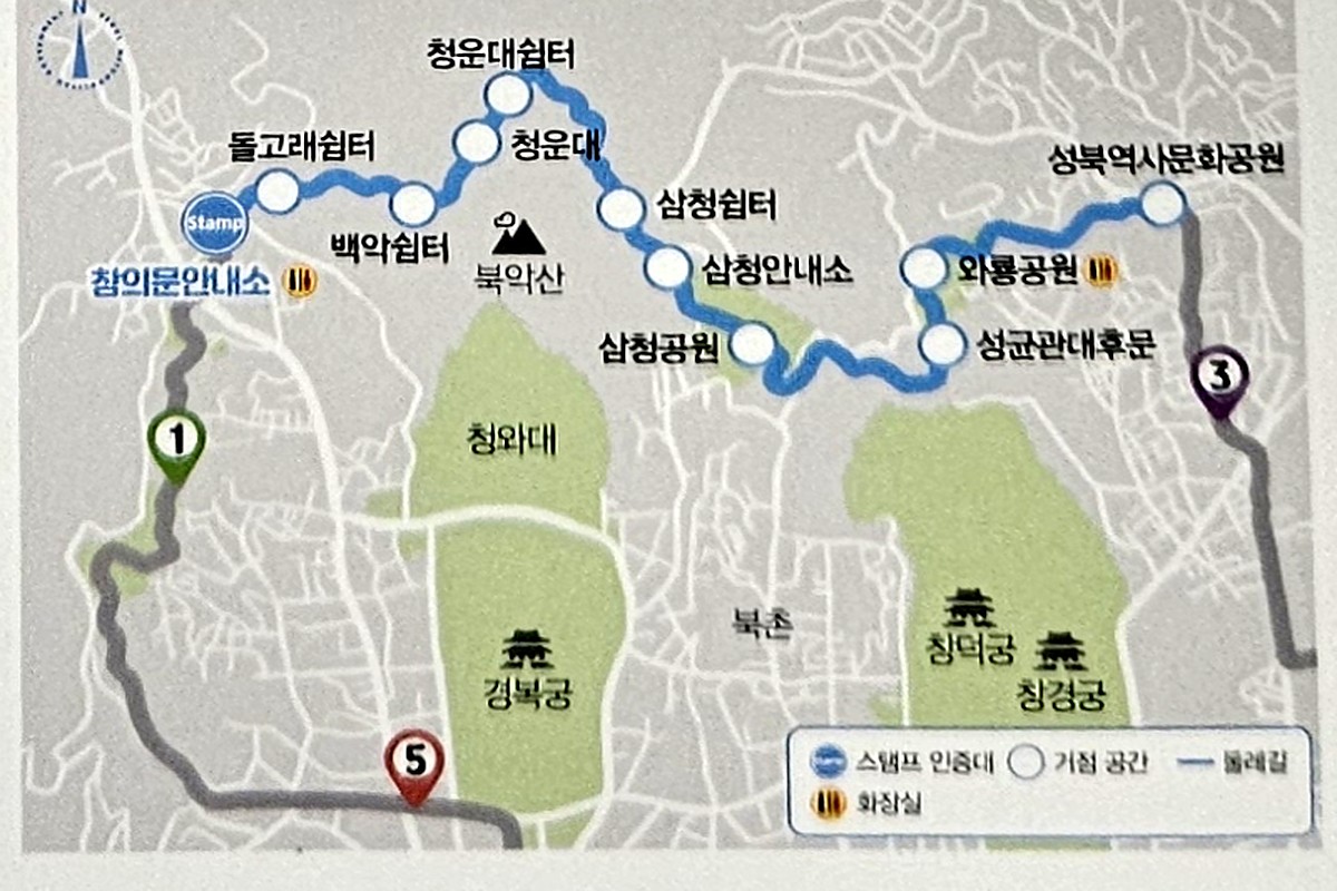
The leaflet map shows 11 stops. You start at the Changuimun information center and climb past Dolphin Shelter (돌고래쉼터), Baegak Shelter (백악쉼터), Cheongundae (청운대) and Cheongundae Shelter (청운대쉼터). Then the route goes through Samcheong Shelter (삼청쉼터) and the Samcheong Information Center (삼청안내소) and down to Samcheong Park (삼청공원).
After the park it passes the back gate of Sungkyunkwan University (성균관대후문) and Wareong Park (와룡공원), and it ends at Seongbuk Historic Park. Course 3 starts there.
The stamp box stands in front of Changuimun. The leaflets are kept inside it.
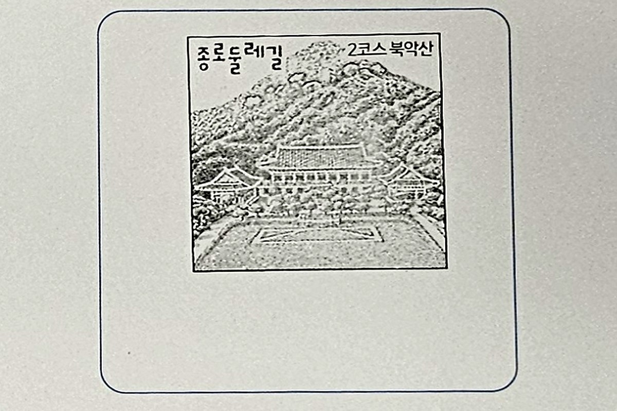
On my leaflet, the Course 2 box is stamped with a small drawing of Bugaksan and a traditional building at its foot.
What was the first part like when I walked it?
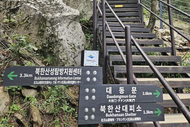
The stairs begin just after Changuimun gate and run beside the old city wall. I started up from the first stair, passed Dolphin Shelter after 8 minutes and reached the summit marker after 30 minutes. I stopped for photos on the way, so you may be a little faster.
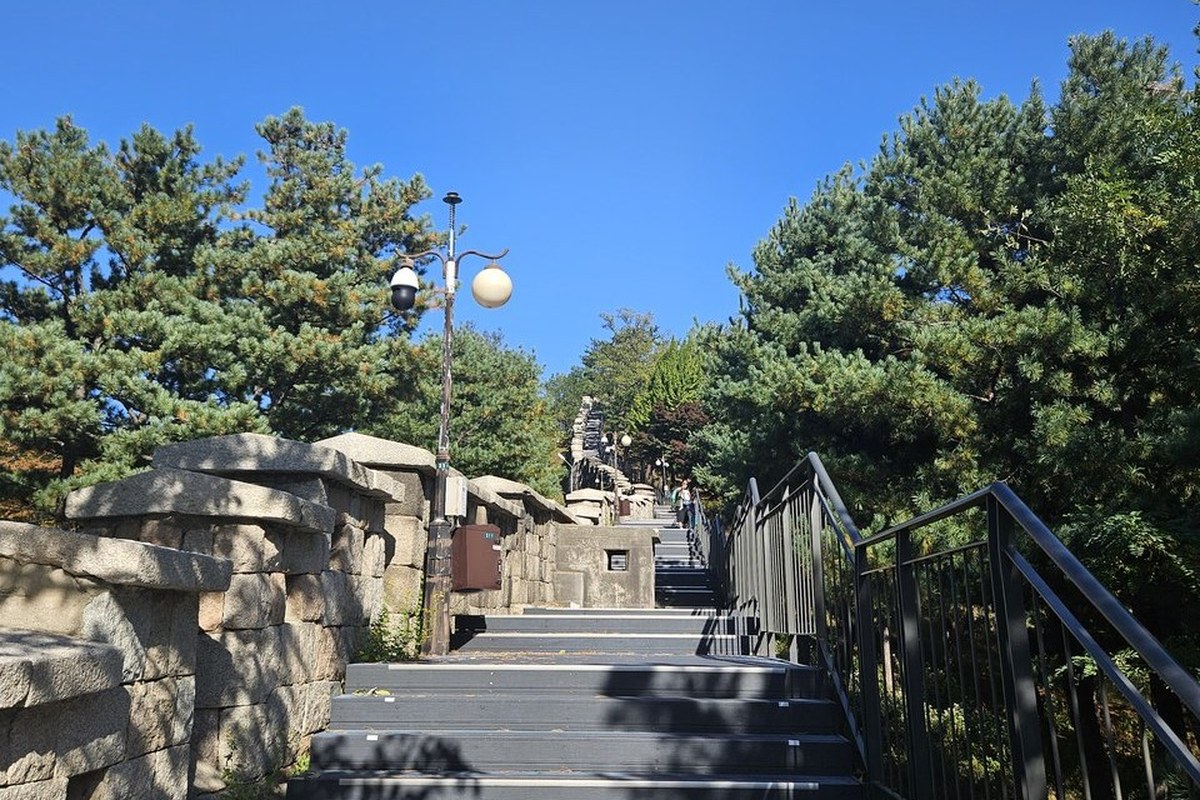
Someone has written a running count on the side of the steps in marker pen. Near the top it says "TOTAL 1,432 Stairs". That is hand-written, not an official number. By my own measurement on OpenStreetMap, 0.75 km of the roughly 0.83 km from Changuimun to the summit is stairs.
At the summit area a stone marker is carved 白岳山 (Baegaksan) and 海拔 342m, the height above sea level.
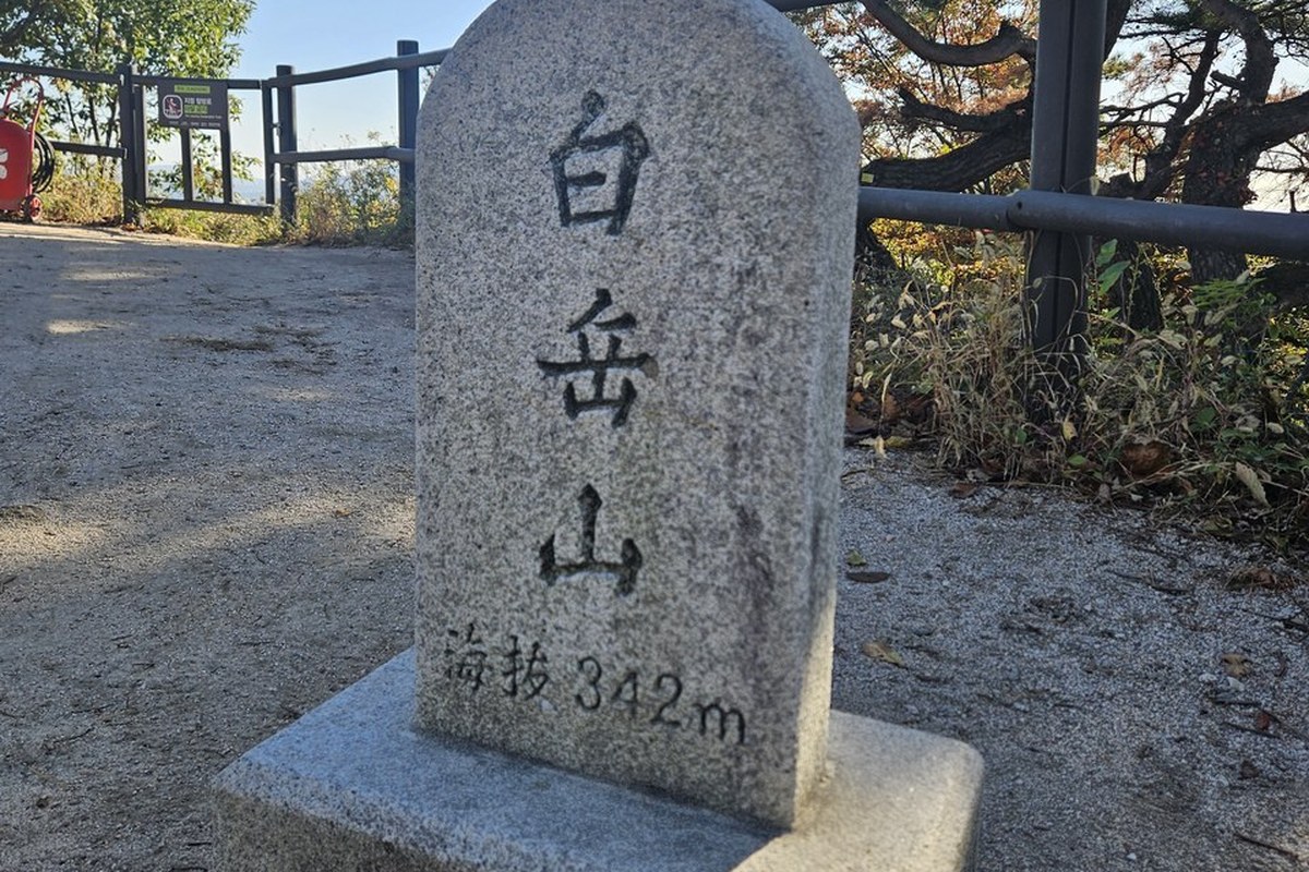
I only walked this far. The rest of the course, from Cheongundae to Seongbuk Historic Park, is described here from the leaflet map and city sources. I wonder how pretty Gyeongbokgung looks from those mountains.
What is worth a stop on the way down?
Changuimun (창의문). It is one of the four small gates of the old Seoul city wall, and the one whose gate tower still stands from the Joseon era. It is also called Jahamun. The plaque reads 彰義門.
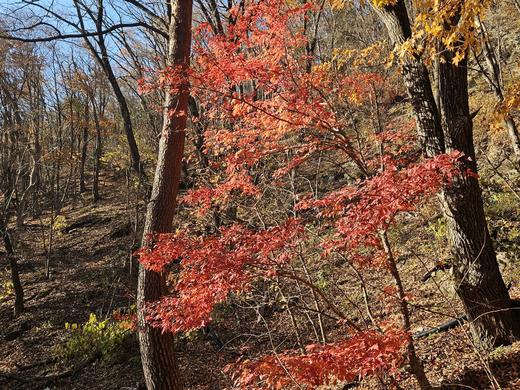
Samcheong Park (삼청공원). A park at the foot of Bugaksan with maple and ginkgo trees, so it has plenty of color in autumn. There is a stream inside, and a forest library. It is open at all times.
Wareong Park (와룡공원). Created in 1984 along the city wall, on the border of Seongbuk-dong and Myeongnyun-dong. The name probably comes from its paths, which look like a reclining dragon. It sits high, with stone steps, and a city article says first-time visitors may feel it is a proper mountain hike. On a clear day the wall gives views of the Sungkyunkwan University campus, part of Changgyeonggung palace, Dongdaemun Design Plaza and Namsan.
What are the rules on Bugaksan?
It is free, with no booking and no visitor limit. The trail is open 24 hours, but it has no lighting, and the Korea Heritage Agency asks visitors to avoid night visits. In March, April, September and October the recommended hours are 07:00 to 18:00. The Korea Heritage Agency's notes also say to stay on the designated trail, that alcohol and smoking are not allowed, that photos are allowed only at designated spots, and that there is no parking. The full list is in the Bugaksan hike guide.
How do you get to Course 2?
- Take Subway Line 3 to Gyeongbokgung Station (경복궁역) and leave by Exit 3.
- Take a green branch bus: 1020, 7022 or 7212.
- Get off at the Jahamun Pass (자하문고개) stop. Changuimun is a 2-minute walk.
The course ends at Seongbuk Historic Park, which the leaflet map places near Hansung Univ. Station on Line 4. There is no parking at Changuimun, so come by transit. For cards and bus tapping, see How to Ride a Seoul Bus.
Naver Map pins
| # | Place | Naver Map |
|---|---|---|
| 1 | Changuimun information center (창의문안내소) · start and stamp box | Open |
| 2 | Gyeongbokgung Station, Exit 3 (경복궁역 3번 출구) | Open |
| 3 | Samcheong Park (삼청공원) | Open |
| 4 | Wareong Park (와룡공원) | Open |
| 5 | Seongbuk Historic Park (성북역사문화공원) · end | Open |
| 6 | Hansung Univ. Station (한성대입구역) | Open |
New to Naver Map? Naver Map vs Kakao Map vs Google Maps in Korea explains it.
FAQ
Why is Course 2 rated "somewhat hard"?
It is the longest of the five courses at 4.8 km, and it climbs Bugaksan. The first stretch from Changuimun to the summit is almost all stairs, and the leaflet gives this course a higher rating than the others.
Where is the Course 2 stamp box?
In front of Changuimun gate, at the start of the course. In the app you must be within 100 m of it.
How is Course 2 different from the Bugaksan city wall walk?
Both start at Changuimun. The Seoul City Wall's Baegak section is 4.7 km and about 3 hours, and it ends at Hyehwamun gate. Course 2 is 4.8 km and about 2.5 hours, and it ends at Seongbuk Historic Park.
When should I start in autumn?
The recommended hours for September and October are 07:00 to 18:00. The course takes about 2.5 hours, so to finish by 18:00 you should start by 15:30 at the latest (my arithmetic), and earlier if you stop for photos.
Where does Course 2 lead next?
Course 2 ends at Seongbuk Historic Park, where Jongno Trail Course 3: Naksan begins. I want to walk the new Bugaksan trail after it opens, and I will add what I find to the Bugaksan hike guide. I will update the Checked date here if the course rating, the stamp box or the rules change.
More on the Jongno Trail
Sources
- Jongno-gu leaflet "Let's walk together, Jongno Dulle-gil" (같이 걸어요 종로둘레길, Korean) and the Jongno Trail signboard at Changuimun, seen Oct 14-15, 2026
- Seoul Metropolitan Government media hub (Korean): Jongno Dulle-gil opening article, Nov 2024 · Wareong Park
- Seoul City Wall (Seoul Metropolitan Government): Baegak Mountain Trail, English (directions, recommended hours, Changuimun gate) · Korean page
- Korea Heritage Service (국가유산청, Korean), press release on the three-stage opening of Baegaksan, Oct 14, 2026: Policy Briefing
- Korea Heritage Agency, Baegaksan Hanyangdoseong (Korean): Changuimun directions · self-entry rules · visitor notes
- Map measurement: © OpenStreetMap contributors (my calculation, not an official figure)
- Photos: three taken by me on Oct 14, 2026 (location data removed), one from the Korea Tourism Organization photo gallery, Korea Open Government License Type 1 (credited; cropped to size)
— SeoulAslan


Comments
Post a Comment