

 SetPaying for Seoul transport
 Hi, I’m SeoulAslan
Jirisan Piagol Fall Foliage (2026): Dates and How to Go
Checked Oct 11, 2026

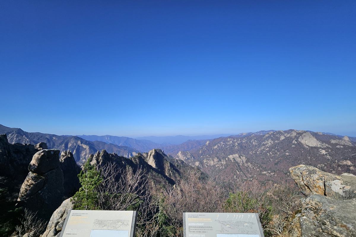
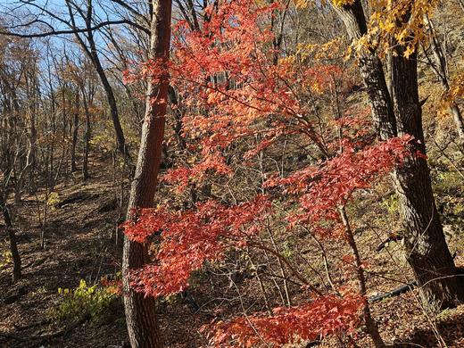
Jirisan National Park (지리산국립공원) colours in two stages. The Korea National Arboretum's 2026 forecast has the high ground at Nogodan on Oct 24, and Piagol Valley (피아골), the park's most famous autumn valley, running from Oct 30 at the shelter to Nov 6 at Yeongoksa temple. The easy walk is the flat 3.7 km from Jikjeon village to Samhongso in Piagol, about 1 hour 30 minutes one way. The catch is the distance: Korea National Park Service (KNPS) lists about 4 hours by bus from Seoul to Gurye, so plan to stay the night.
Jump to: Peak dates · Piagol Valley · Nogodan · Which weekend · Getting there · Food · FAQ
When does Jirisan peak in 2026?
The Korea National Arboretum (국립수목원) runs a map where you tap a spot and get its forecast peak date. I tapped the Jirisan spots on Oct 4, and the five Piagol spots again on Oct 9, with the same dates. The model has a hit rate of about 70%, so read the order more than the exact day. The Korea Forest Service's Sept 22 forecast does not include Jirisan.
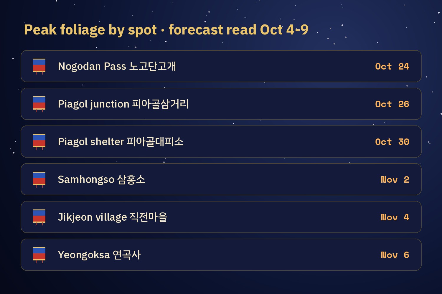
| Spot | Where | Forecast peak |
|---|---|---|
| Banyabong 반야봉 | main ridge | Oct 23 |
| Nogodan 노고단 and Nogodan Pass 노고단고개 | Nogodan Trail | Oct 24 |
| Nogodan shelter 노고단대피소 | Nogodan Trail | Oct 25 |
| Muneonggi 무넹기 | Nogodan Trail | Oct 26 |
| Piagol junction 피아골삼거리 | top of Piagol | Oct 26 |
| Seongsamjae 성삼재 | trailhead for Nogodan | Oct 27 |
| Piagol shelter 피아골대피소 | Piagol | Oct 30 |
| Samhongso 삼홍소 | Piagol | Nov 2 |
| Pyogo-makteo 표고막터 | Piagol | Nov 3 |
| Jikjeon village 직전마을 | Piagol trailhead | Nov 4 |
| Yeongoksa 연곡사 | temple at the valley mouth | Nov 6 |
Here the colour starts on the ridge and ends at the temple 13 days later. Piagol is the late one, so it is the one to plan for early November.
Piagol Valley: the famous autumn trail
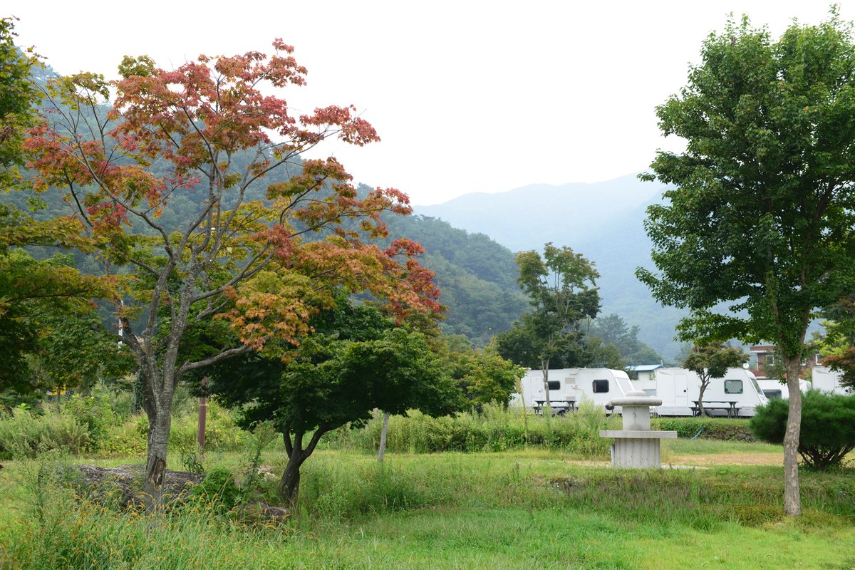
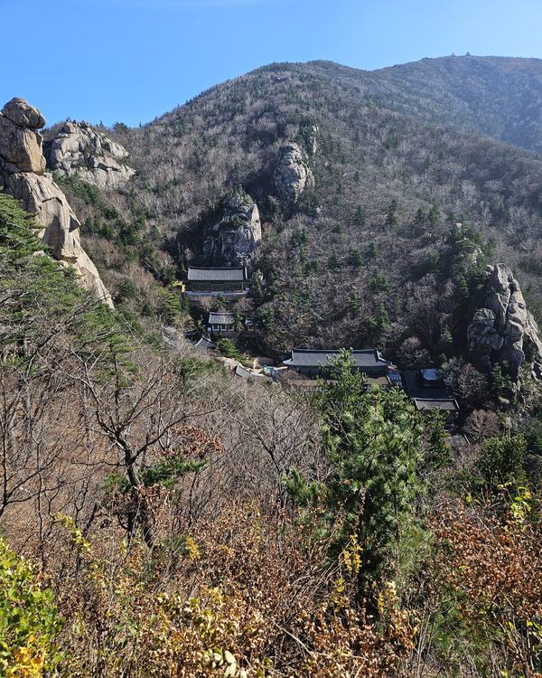
KNPS calls Piagol the park's signature autumn course. The full course is 8.8 km one way from Yeongoksa to the Piagol junction, about 5 hours, rated moderate. You do not need all of it. The first part is the easy part.
- Yeongoksa 연곡사 → Jikjeon village 직전마을: about 30 minutes on a paved road.
- Jikjeon village → Samhongso 삼홍소: 3.7 km, about 1 hour 30 minutes, flat and good for families. KNPS says the name means that the mountain, the water and the people all turn red.
- Samhongso → Piagol junction 피아골삼거리: 4 km, about 3 hours, with slopes over 30 degrees. KNPS recommends hiking boots and poles.
The easy plan: take the bus to Jikjeon village, walk to Samhongso and back. That is 7.4 km and about 3 hours on the flat part. KNPS says mid-October to early November is the best time for Piagol. Samhongso is forecast for Nov 2.
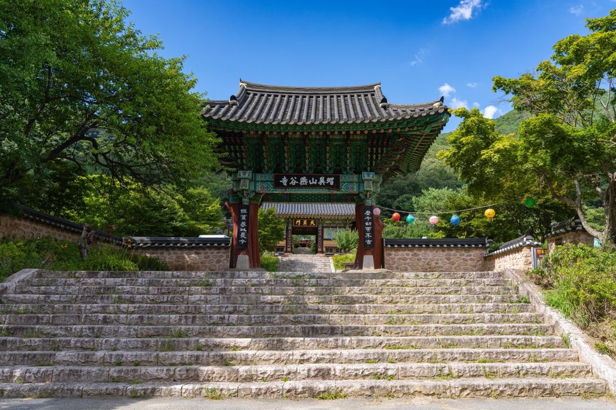
Gurye County lists the Jirisan Piagol Maple Festival as planned for Nov 7 and 8, 2026, with the page marked as in preparation. If it goes ahead, those are the two days after the Yeongoksa forecast peak, so it would be crowded. Check the county's festival page before you plan around it.
The high route: Nogodan
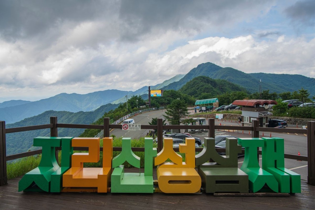
KNPS rates the Nogodan Trail easy: from the Seongsamjae car park to Nogodan Pass is 4.7 km and about 1 hour. The first 2 km to Muneonggi takes about 25 minutes on a wide, flat path of soil, sand and gravel. The summit of Nogodan itself, the 500 m past the pass, takes a reservation, which is for the whole year: book on the KNPS reservation site or on the spot (05:00–17:00, last entry 16:00; the phone line, +82-1670-9202, is Korean only). The pass and the shelter do not need one.
Mountain weather changes fast up there, so KNPS tells you to bring an extra layer and emergency food. Seongsamjae is above 1,000 m, and the pass is around 1,400 m.
Jirisan: weekend by weekend
- Oct 24–25: Nogodan. The pass is forecast for Oct 24 and the shelter for Oct 25.
- Oct 31–Nov 1: upper Piagol. The shelter is forecast for Oct 30 and Samhongso for Nov 2 (Monday).
- Nov 7–8: Jikjeon village and Yeongoksa, forecast for Nov 4 to 6. The planned festival would be on these days.
When I am climbing, sweat pouring and my throat dry, and I come across a maple or a ginkgo with really good colour, the tiredness is gone. I think that is the moment a flat walk like Samhongso is built for.
How to get to Jirisan from Seoul
Gurye (구례) is the gateway for both Piagol and Nogodan. KNPS and Gurye County agree it is a long trip.
- By bus (KNPS, about 4h): Seoul Nambu Terminal 서울남부터미널 → Gurye Public Bus Terminal 구례공영버스터미널. Gurye County lists 3 hours 10 minutes from Nambu Terminal and 3 hours 20 minutes from Central City, with an ordinary fare of 24,300 won from Seoul (updated Oct 2).
- By train (KNPS, about 5h 30m): Seoul Station → Gurye-gu Station 구례구역 → Gurye bus terminal. Gurye County lists 2 hours 20 minutes to 4 hours 30 minutes from Seoul or Yongsan to Gurye-gu Station, depending on the train.
- To Piagol: from the Gurye terminal, a local bus to Yeongoksa 연곡사 or Jikjeon village. Local buses in Gurye cost a flat 1,000 won according to the county. I did not find the route number, so ask at the terminal (+82-61-780-2730).
- To Nogodan: from the Gurye terminal to Seongsamjae Rest Area 성삼재휴게소 (KNPS). The county notes a separate fare for the Nogodan seat bus.
Buy intercity bus tickets on Kobus (kobus.co.kr, English page) or Bustago (bustago.or.kr), and check the timetable the day before. Local bus times I could not confirm, so confirm them at the Gurye terminal. How to book as a foreigner is in our KTX booking guide.
Hours and closures
- Nogodan side: start from Seongsamjae between 3:00 am and 4:30 pm from April to October (4:00 am to 4:00 pm from November). The Nogodan Pass main ridge section is open 3 am to 12 noon until October, 4 am to 11 am from November.
- Piagol side: start from Jikjeon village toward the Piagol shelter between 3 am and 3 pm until October, 4 am to 2 pm from November.
- Status: all sections under the Jeonnam office were open as of Oct 4. The office numbers are +82-61-780-7700 and +82-61-783-1507.
Where to eat in Piagol
Piagol has only a few restaurants, around Jikjeon village and the valley road. These are the two with the most Google Maps reviews as of Oct 11, 2026. Ratings are Google's and I have not eaten at either. The links open Naver Map.
| Place | Google rating | Reviews | Map |
|---|---|---|---|
| 천왕봉산장 Cheonwangbong Sanjang | 4.1 | 126 | 천왕봉산장 |
| 산아래첫집 Sanarae Cheotjip | 4.4 | 73 | 산아래첫집 |
FAQ
When is Jirisan's fall foliage peak in 2026?
The Korea National Arboretum forecasts Nogodan around Oct 24, Piagol shelter around Oct 30, Samhongso around Nov 2 and Yeongoksa around Nov 6.
Do I need a reservation for Piagol?
No. Only the Nogodan summit, the 500 m past Nogodan Pass, needs one.
Should I stay overnight near Piagol?
Yes. KNPS lists about 4 hours by bus to Gurye, plus a local bus, so a day trip is not comfortable. Stay overnight in Gurye.
What is the easiest part of Piagol?
Jikjeon village to Samhongso: 3.7 km, about 1 hour 30 minutes one way, flat.
Piagol: the map and the festival dates
The Arboretum map moves with the weather, and the festival dates are not final. I will check both again and add what they say. You can check the map yourself: open the Arboretum's peak foliage map, zoom to Jirisan and tap the spot you plan to walk.
More fall foliage guides
- Korea Fall Foliage 2026: When Seoraksan and Naejangsan Actually Peak
- Pyeongchang in Fall 2026: Sky Ranch and Woljeongsa
- Odaesan Fall Foliage 2026: Peak Dates by Trail
- Hangyesanseong Trail, Seoraksan: Open After 50 Years (2026)
- Juwangsan Fall Foliage (2026): Peak Dates and How to Go
- Songnisan Fall Foliage (2026): Peak Dates and How to Go
- Bukhansan Fall Foliage (2026): Peak Dates, Trails, Subway
- Gyeryongsan Fall Foliage (2026): Dates and How to Go
- Naejangsan Fall Foliage (2026): Dates and How to Go
Sources: Korea National Arboretum, 2026 peak foliage map (knpn.nature.go.kr), read Oct 4 and Oct 9 · Korea National Park Service: Jirisan Piagol and Nogodan course guides, transport, entry hours, Nogodan reservation notice (knps.or.kr) · Gurye County: bus and train access, bus fares, festival page (gurye.go.kr/tour), read Oct 9 · Korea Forest Service peak forecast, Sept 22 (no Jirisan date) · Google Maps ratings, Oct 11 · Photos: Korea Tourism Organization, KOGL Type 1 · Satellite © VWorld, trails © Korea National Park Service
— SeoulAslan


Comments
Post a Comment