
 SetPaying for Seoul transport
 Hi, I’m SeoulAslan
Gyeryongsan Fall Foliage (2026): Dates and How to Go
Checked Oct 11, 2026
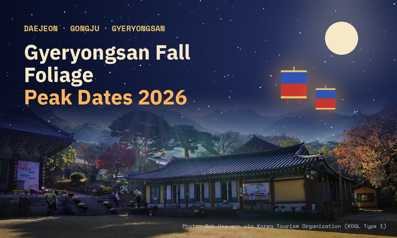
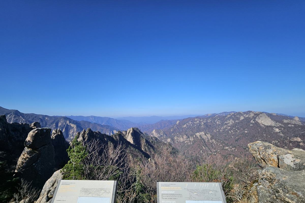
Gyeryongsan (계룡산) is the one mountain in this series where the top and the bottom colour almost together. The Korea National Arboretum's 2026 forecast puts the summits, Gwaneumbong and Sambulbong, at Oct 28, Gapsa valley at Oct 31, the valley above Donghaksa at Nov 1 and both car parks at Nov 2. That is five days from top to bottom. The easy walk is the flat 0.9 km from the Gapsa car park to Gapsa temple, about 30 minutes. Korea National Park Service (KNPS) lists about 2 hours 30 minutes from Seoul by train or bus, so it can be done in a day.
Jump to: Peak dates · Gapsa side · Donghaksa side · Which weekend · Getting there · Hours and cost · Food · FAQ
When does Gyeryongsan peak in 2026?
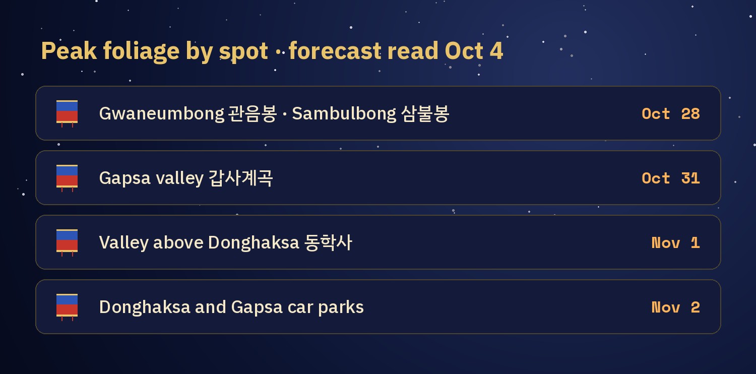
The Korea National Arboretum (국립수목원) runs a map where you tap a spot and get its forecast peak date. I read the Gyeryongsan spots on Oct 4 and again on Oct 5, with the same dates both times. The model has a hit rate of about 70%, so read the order more than the exact day. The Korea Forest Service's Sept 22 forecast does not include Gyeryongsan.
| Spot | Where | Forecast peak |
|---|---|---|
| Gwaneumbong 관음봉 | summit, Donghaksa 1 course | Oct 28 |
| Sambulbong 삼불봉 | summit, Gapsa 1 course | Oct 28 |
| Gapsa valley 갑사계곡 | Gapsa 1 course | Oct 31 |
| Valley above Donghaksa 동학사 위 계곡 | Donghaksa 1 course | Nov 1 |
| Donghaksa car park 동학사 주차장 | trailhead, east side | Nov 2 |
| Gapsa car park 갑사 주차장 | trailhead, west side | Nov 2 |
The summits are first, then the Gapsa valley, then the Donghaksa valley, then the car parks. Because the spread is only five days, one weekend at the end of October covers most of it.
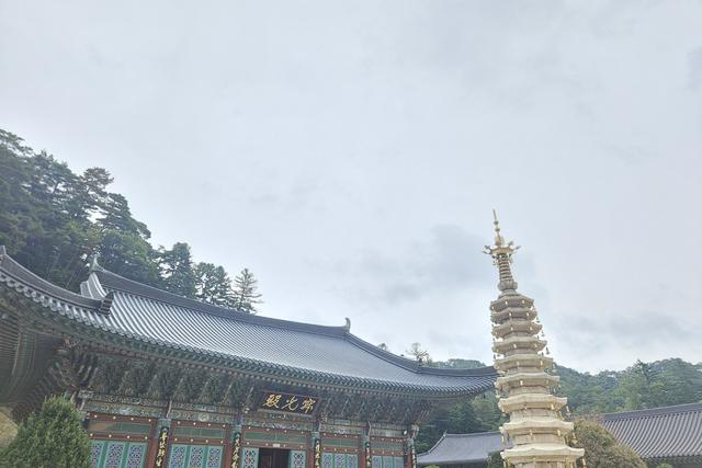
The Gapsa side: valley and a thousand-year-old temple
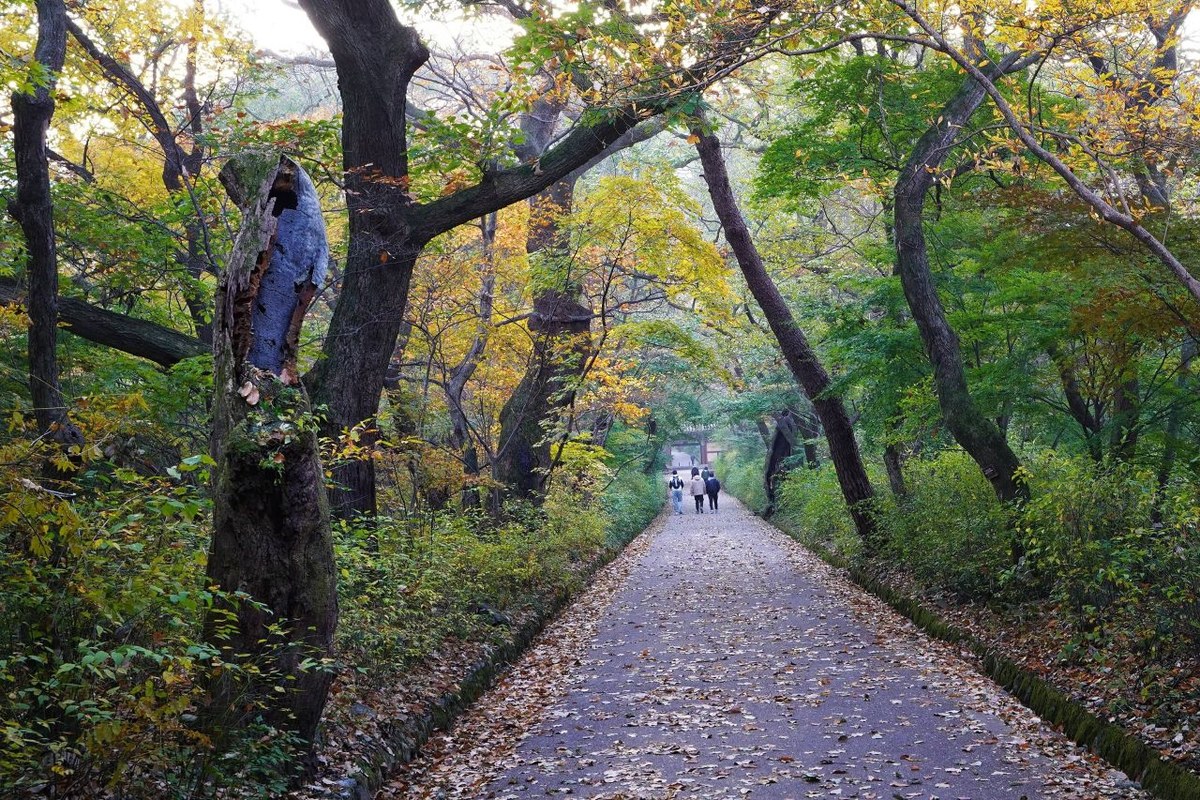
KNPS names the Gapsa valley (갑사계곡) as the course's autumn highlight and lists two of the eight sights of Gyeryongsan here: the autumn leaves of the valley and the snow on Sambulbong in winter. The Gapsa 1 course goes from the Gapsa car park to Sambulbong, 3.8 km one way, about 2 hours 30 minutes, rated moderate.
- Car park → Gapsa: 0.9 km, about 30 minutes, on a flat path of paving blocks through a forest. KNPS says there are many historic buildings and relics. The last toilet is just before Gapsa, and there is none until Sinheungam.
- Gapsa → Sinheungam 신흥암: the valley section. KNPS says the autumn colour is especially good here, with strange rocks, and that it gets crowded in autumn.
- Gapsa → Sambulbong: 2.9 km, about 2 hours, through Geumjandi Pass 금잔디 고개 just below the summit. KNPS warns that most of the valley path is rock and slippery.
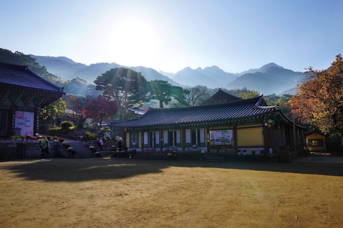
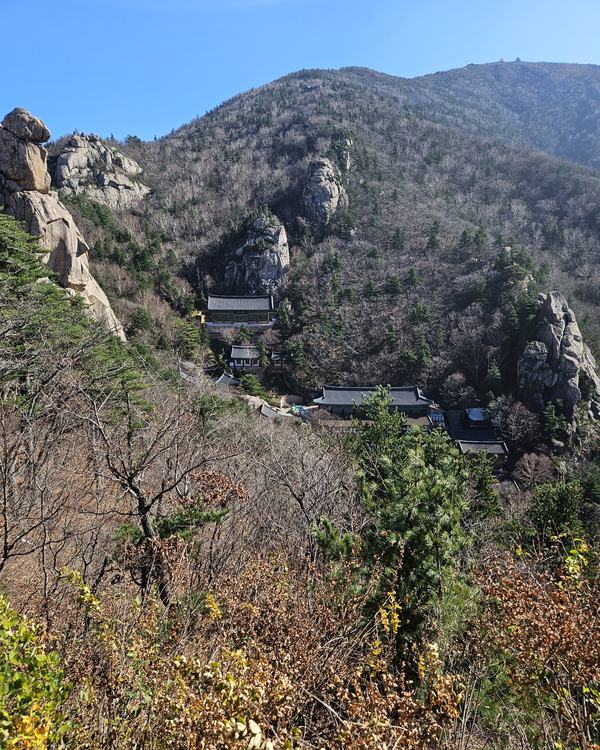
The easy plan: take the bus to Gapsa, walk the flat 0.9 km to the temple, look around, and walk the first part of the valley if you feel like it. You get the temple and the first valley colour with no real climbing.
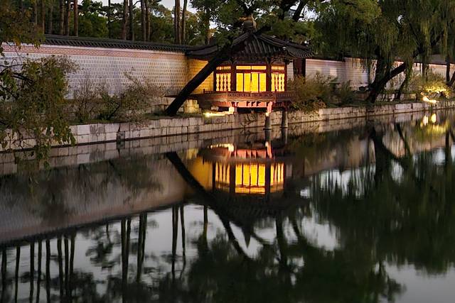
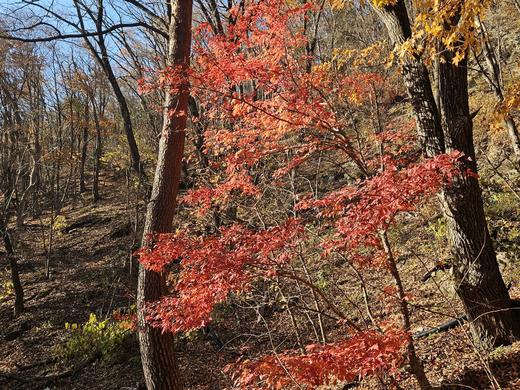
The most beautiful autumn leaves I have ever seen were a maple tree inside Gyeongbokgung. That red was so brilliant, and the way it looked in the sunlight was just unbelievably beautiful. But however many photos I took, they could not catch it. It stays only in my head.
That is why I like a temple yard for autumn. A palace or a temple puts old wood, stone and one good tree in the same frame. Gapsa has that, with a valley behind it.
The Donghaksa side: the most visited course
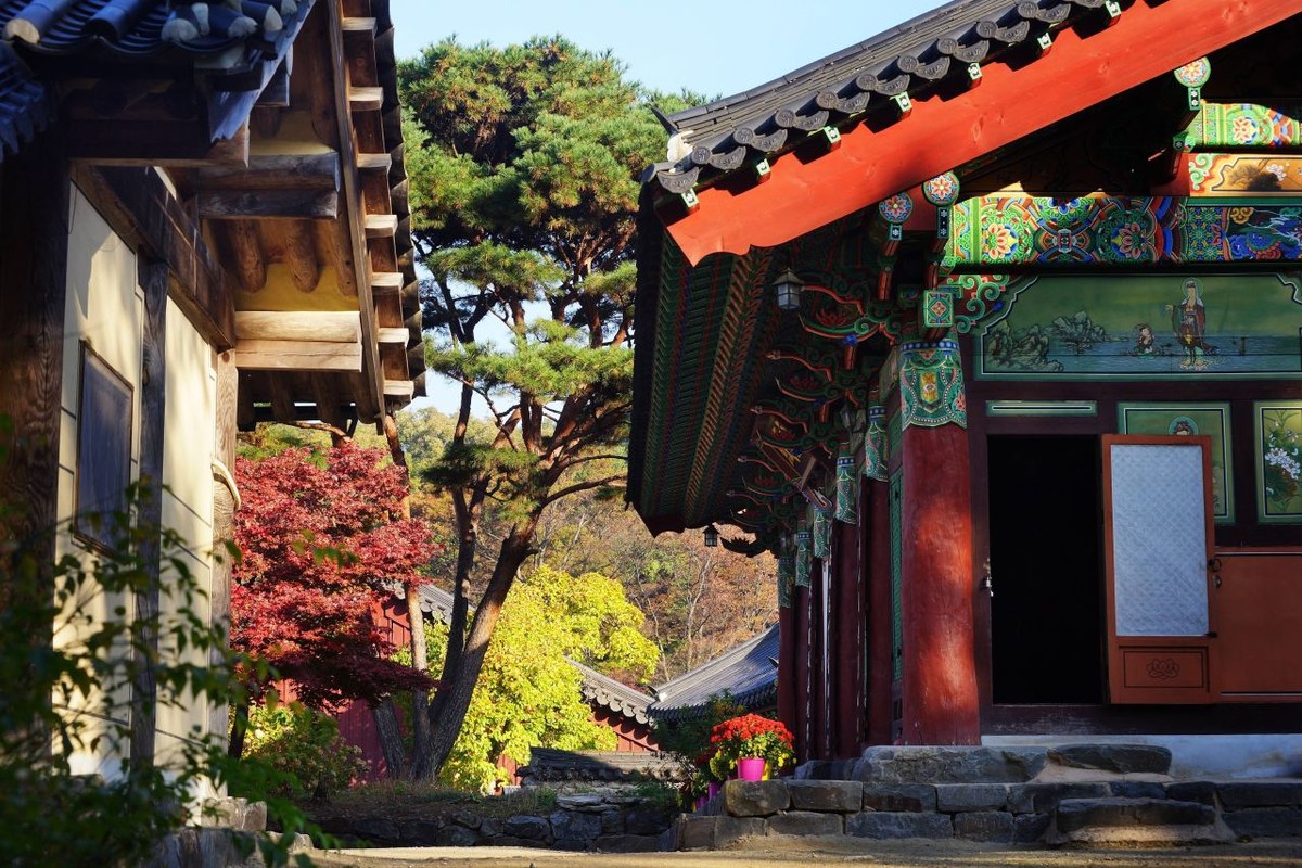
KNPS calls the Donghaksa 1 course the park's most visited course. It goes from the Donghaksa car park through Donghaksa temple and Eunseon Falls (은선폭포) to Gwaneumbong, 4.4 km one way, about 2 hours 30 minutes, rated moderate. It has three of the eight sights of Gyeryongsan: the Donghaksa valley, Eunseon Falls and Gwaneumbong.
- Car park → Donghaksa: past the ticket booth and the Iljumun gate (toilet next to it), then a paved, flat road to the temple.
- Donghaksa → Hyanga Bridge 향아교: the real hike starts here.
- Around Eunseon Falls: steeper, mostly stone steps. KNPS also notes the risk of falling rocks.
- Gwaneumbong Pass → summit: a rest area at the fork with Yeoncheonbong. Near the peak it is steep with stairs and rock, but KNPS says stairs and decks are in place at dangerous spots, so it is not a very hard course.
If you do only the flat part, go to Donghaksa and back. Gwaneumbong is forecast for Oct 28, a Wednesday, which suits a weekday trip.
Gyeryongsan: the best days to go
- Oct 24–25: early for the summits, which are forecast for Oct 28. Colour may be starting up high.
- Oct 28 (Wed): the summits, Gwaneumbong and Sambulbong. The best day for the summit trails if you can take a weekday.
- Oct 31–Nov 1: the best match. Gapsa valley is forecast for Oct 31 and the Donghaksa valley for Nov 1.
- Nov 7–8: late. The car parks are forecast for Nov 2, so the low ground may be past peak.
How to get to Gyeryongsan from Seoul
Everything below is from KNPS's transport pages for each course. Times are KNPS's own estimates and can change with traffic.
- Donghaksa side by bus (KNPS, about 2h 20m): Seoul Dong Seoul Terminal 동서울종합터미널 or Central City Terminal → Yuseong Complex Terminal 유성복합터미널 → bus 107 from the Guam Station stop 구암역 → get off at Donghaksa 동학사 stop → park office.
- Donghaksa side by train (KNPS, about 2h 30m): Seoul Station → Daejeon Station → Daejeon Metro Line 1 → Hyeonchungwon Station 현충원역 exit 3 → bus 107 → Donghaksa stop.
- Gapsa side by bus (KNPS, about 3h): Dong Seoul Terminal or Central City Terminal → Gongju Intercity Bus Terminal 공주종합버스터미널 → bus 321 → get off at Gapsa 갑사 stop. KNPS adds that the Gongju to Gapsa city bus takes about 40 minutes (it lists bus 320 for that line) and a taxi from Gongju takes 20 to 30 minutes.
- Gapsa side by train (KNPS, about 2h 40m): Seoul Station → Daejeon Station → Metro Line 1 → Hyeonchungwon Station exit 3 → bus 340 → Gapsa.
- By car (KNPS, about 3h to the Donghaksa side): Gyeongbu Expressway → Cheonan JC → Nonsan-Cheonan Expressway → Gongju IC.
KNPS lists bus 321 on the bus page and bus 320 in a note on the same page for Gongju to Gapsa, so ask at the Gongju terminal which number you need. I did not find a second official source for the bus numbers or times, so check them on the day. How to book the train as a foreigner is in our KTX booking guide. Pick one side per day: the Donghaksa and Gapsa trailheads are on opposite sides of the mountain.
Hours and cost
- Entry hours: at the old Donghaksa campsite and the Daeseongam entrance on the Gapsa side, you may enter from 4:00 am to 5:00 pm through October, and from 5:00 am to 3:00 pm from November to March (KNPS).
- Status: the KNPS control board shows all trails open since Sept 1, as I read it on Oct 11. Office: +82-42-820-3100.
- Cost: park entry is free. The KNPS fee page lists only camping, no entry fee. Parking at the Donghaksa and Gapsa lots is not on that page, so I do not give a price.
Temple admission is a separate matter and I could not confirm it from two official sources, so check at the gate.
Where to eat near Donghaksa
The restaurants cluster on the road to the Donghaksa car park. These are three with 100 or more Google Maps reviews as of Oct 11, 2026. Ratings are Google's and I have not eaten at any of them. The links open Naver Map. I found no comparable list for the Gapsa side.
| Place | Google rating | Reviews | Map |
|---|---|---|---|
| 도덕봉가든 Dodeokbong Garden | 3.9 | 375 | 도덕봉가든 |
| 계룡산산야초본가 Gyeryongsan Sanyacho Bonga | 4.5 | 144 | 계룡산산야초본가 |
| 자작바위 Jajak Bawi | 4.1 | 144 | 자작바위 |
FAQ
When is Gyeryongsan's fall foliage peak in 2026?
The Korea National Arboretum forecasts the summits around Oct 28, Gapsa valley around Oct 31, the valley above Donghaksa around Nov 1 and the car parks around Nov 2.
How long does it take to reach Gyeryongsan from Seoul?
KNPS lists about 2h 20m to 2h 30m to the Donghaksa side by bus or train, and about 3h by bus to Gapsa, so a day trip works.
Which side is easier, Gapsa or Donghaksa?
For a short flat walk, Gapsa: 0.9 km on paving blocks to the temple. The full Gapsa and Donghaksa courses are both moderate, about 4 km and 2h 30m one way.
Does Gyeryongsan charge an entry fee?
No. KNPS has no entry fee for the park. Temple admission is separate, so ask at the gate.
Gyeryongsan: do the summits turn on Oct 28?
The Arboretum map moves with the weather. I will check whether the summits really start around Oct 28 and when the Gapsa valley is strongest, and add what I find. You can check the map yourself: open the Arboretum's peak foliage map, zoom to Gyeryongsan and tap the spot you plan to walk.
More fall foliage guides
- Korea Fall Foliage 2026: When Seoraksan and Naejangsan Actually Peak
- Pyeongchang in Fall 2026: Sky Ranch and Woljeongsa
- Odaesan Fall Foliage 2026: Peak Dates by Trail
- Hangyesanseong Trail, Seoraksan: Open After 50 Years (2026)
- Juwangsan Fall Foliage (2026): Peak Dates and How to Go
- Songnisan Fall Foliage (2026): Peak Dates and How to Go
- Bukhansan Fall Foliage (2026): Peak Dates, Trails, Subway
- Jirisan Piagol Fall Foliage (2026): Dates and How to Go
- Naejangsan Fall Foliage (2026): Dates and How to Go
Sources: Korea National Arboretum, 2026 peak foliage map (knpn.nature.go.kr), read Oct 4 and Oct 5 · Korea National Park Service: Gyeryongsan Donghaksa 1 and Gapsa 1 course guides, transport pages, entry hours, control board, fee page (knps.or.kr), read Oct 4 to Oct 11 · Korea Tourism Organization, Gyeryongsan National Park page (english.visitkorea.or.kr) · Korea Forest Service peak forecast, Sept 22 (no Gyeryongsan date) · Google Maps ratings, Oct 11 · Photos: Korea Tourism Organization, KOGL Type 1 · Satellite © VWorld, trails © Korea National Park Service
— SeoulAslan


Comments
Post a Comment