

 SetPaying for Seoul transport
 Hi, I’m SeoulAslan
Unaksan Hike, Pocheon: Cliff Walkway, 5 Trails, Bus (2026)
Checked Oct 26, 2026
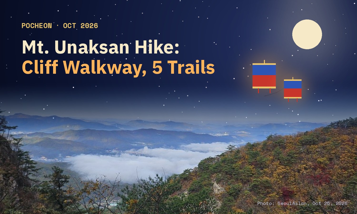
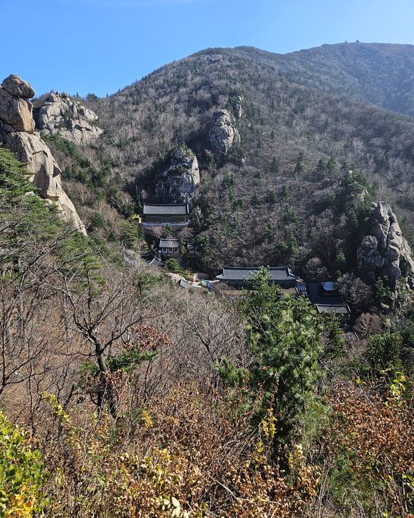
Unaksan (운악산) is a rocky mountain of 935.5 to 937.5 m on the border of Pocheon and Gapyeong, in Gyeonggi Province, about 45 km in a straight line north-east of central Seoul. Its new Cloud Road (구름길), a 207 m cliff walkway, stairs and bridge, opened on Sept 7, 2026. From the Pocheon side, take Subway Line 4 to Jinjeop Station (진접역) and then bus 7-1. Wear real hiking boots, and go on a weekday if you can.
I went up on Oct 25 because the Cloud Road was getting a lot of praise. The Cloud Road itself was good. The path that leads to it was rougher than I expected, and I saw foreign hikers on it who made me nervous. This guide puts my own hike, the five trails on the mountain and the bus routes in one place.
Watch the hike
Which way up is the hardest? The five routes in 3D
Jump to: Where it is · Cloud Road · My hike · Clouds and colour · Going down · Five trails · By bus · Boots and timing · FAQ
Is Unaksan in Pocheon or Gapyeong, and how high is it?
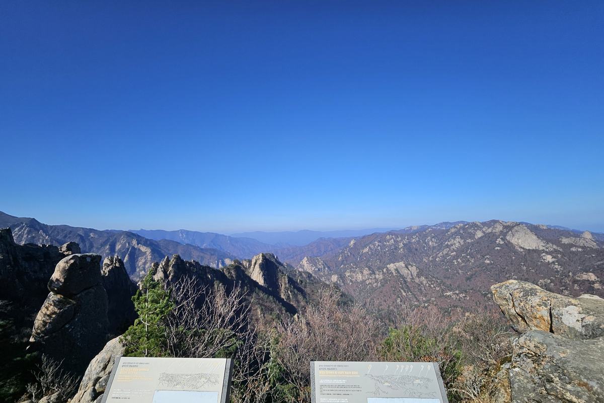
Both. The ridge line runs along the border of Pocheon city (Hwahyeon-myeon, 화현면) and Gapyeong county (Jojong-myeon, 조종면), so each side runs its own trailhead and its own signs. It is one of the "Five Peaks of Gyeonggi" (경기 5악) along with Gwanaksan, Hwaaksan, Gamaksan and Songaksan, and a local nickname calls it the Geumgangsan of Gyeonggi for its rock faces.
The height depends on which marker you read. The Pocheon trail map gives 935.5 m for the west peak (서봉) and 937 m for the east peak (동봉). The stone marker put up by Gapyeong says 937.5 m, and the Korea Tourism Organization uses 937.5 m for the Gapyeong side. So you will see 935.5 to 937.5 m, and all of them are the same mountain.
Pick your satnav destination by side. Unak Plaza (운악광장) is the Pocheon start, and Hyeondeungsa (현등사) is on the Gapyeong side.
What is the Cloud Road?
The Cloud Road is a walkway that Pocheon city built on a cliff and rock ridge at about 800 m above sea level. It opened on Sept 7, 2026. The sign at the entrance gives the total as 207 m: a cliff walkway (잔도) of 88 m, cloud stairs (구름계단) of 78 m and a cloud bridge (구름다리) of 41 m. The floor of the walkway is steel grating, so you can see the drop under your feet.
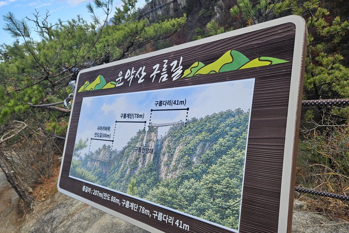
This part lived up to the praise. It is new and clean, and walking along the cliff has real thrill. Apart from the rough path that leads to it, I would say the Cloud Road is worth the effort.
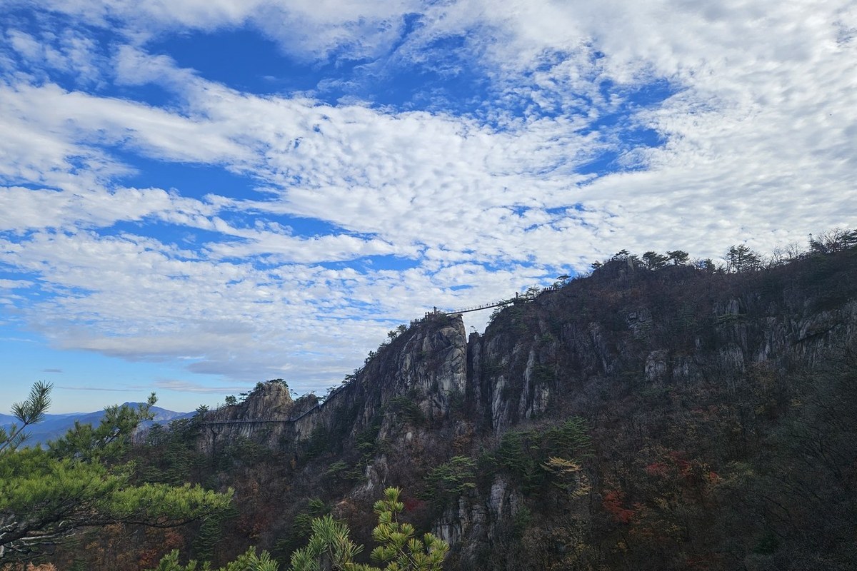
What was the hike to the Cloud Road like?
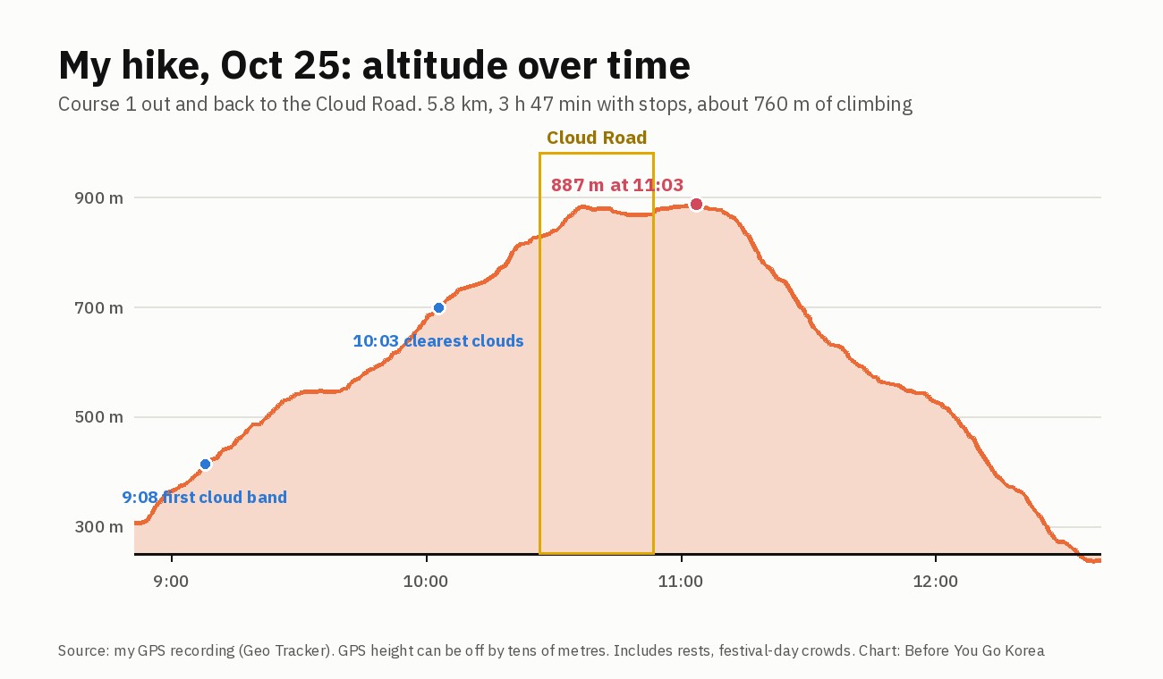
I started at Unak Plaza at 08:51 and walked up Course 1 to the Cloud Road. I did not go on to the summit. My GPS track shows the highest point at 887 m at 11:03, 2 h 12 min after the start, and I was back at 12:38. That is 5.8 km, 3 h 47 min with stops, and about 760 m of climbing. Those times came on a crowded festival day, so a quiet day will be different.
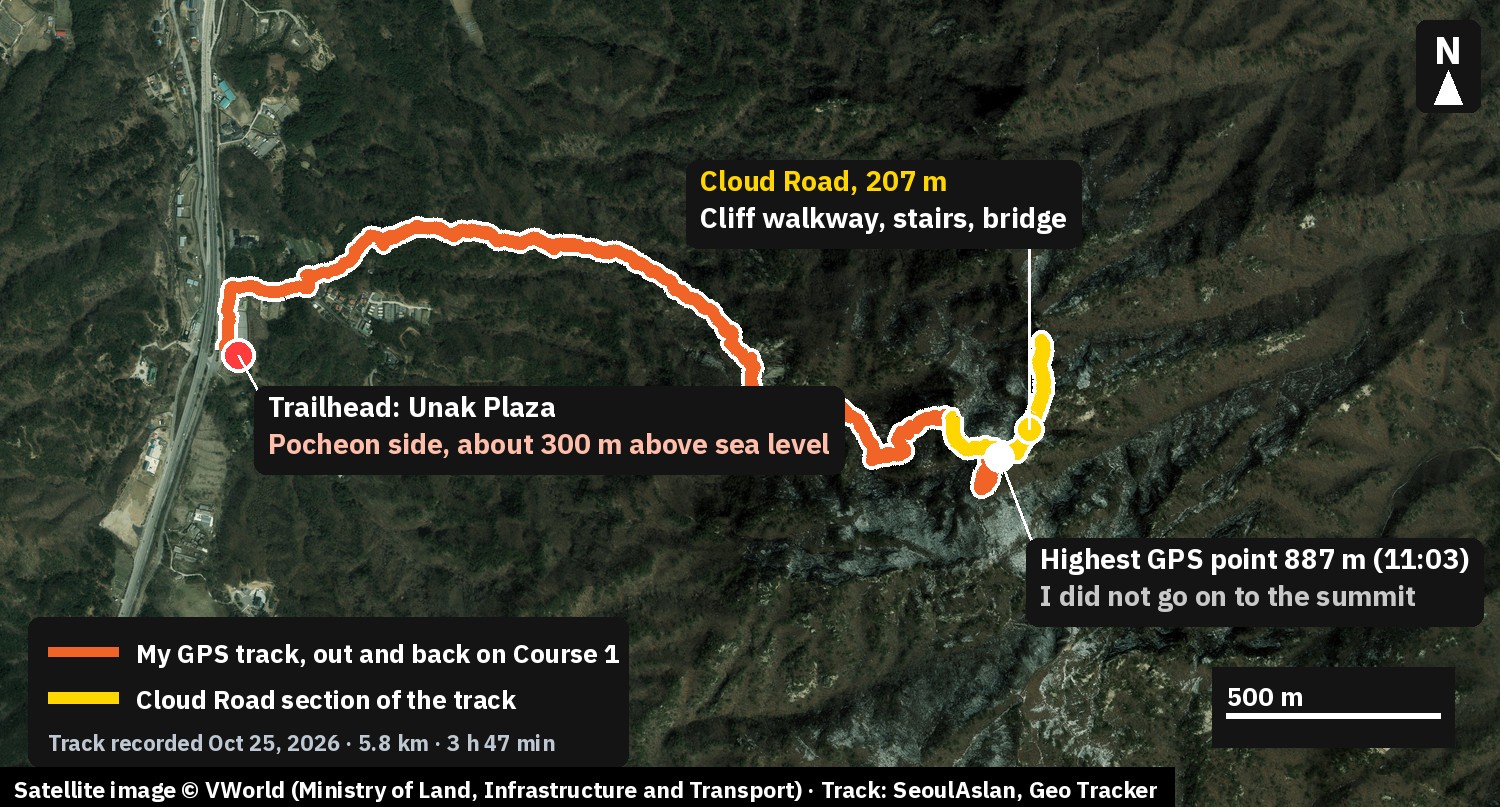
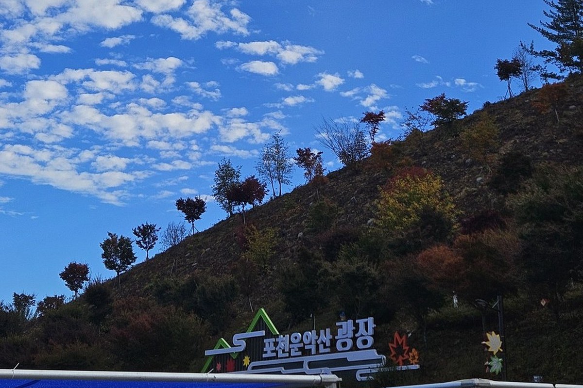
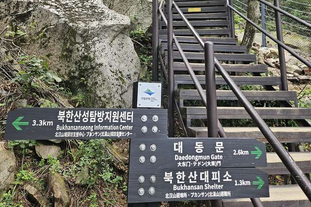
Do not judge Course 1 by its short distance. The trail sign gives 2.6 km to the summit, but my out-and-back to the Cloud Road logged 5.8 km with that much climbing.
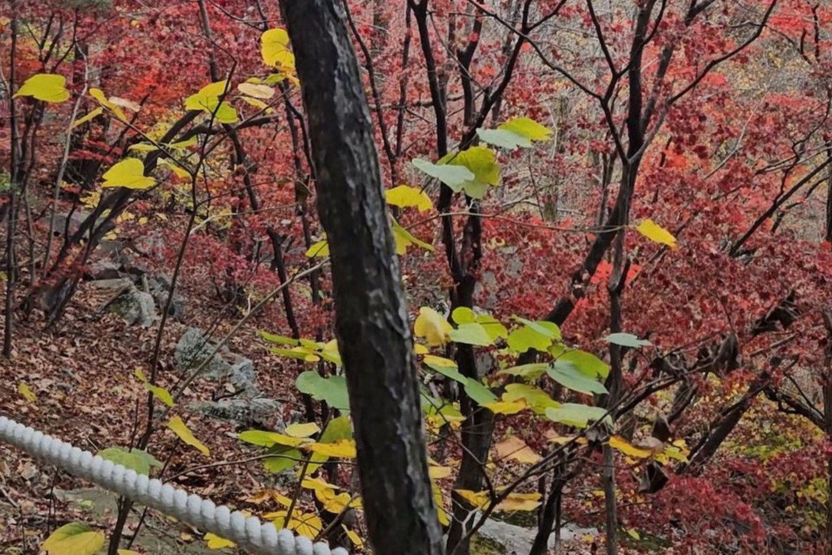
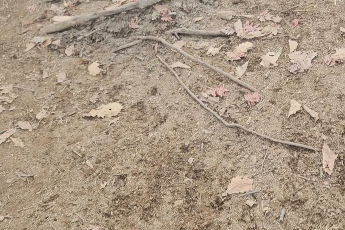
The path was not what I expected from a trail that gets so much praise. Three things stood out:
- Bottlenecks. On narrow stretches, people coming down meet people going up, and one side has to stop. Leave extra time.
- Loose ropes. Many fixed ropes are slack, and some are cut loose at one end. Keep your weight on your feet and use a rope only for balance.
- Roots and rock. Long sections have exposed roots and bare rock, so you have to watch every step.
I also compared it, unfairly, with the Hantangang columnar-joint cliff walkway, which is also in Pocheon. Next to that, I found Unaksan's access trail far less developed. The bar is high, but they are in the same city, so I kept comparing. I hope Pocheon keeps investing here.
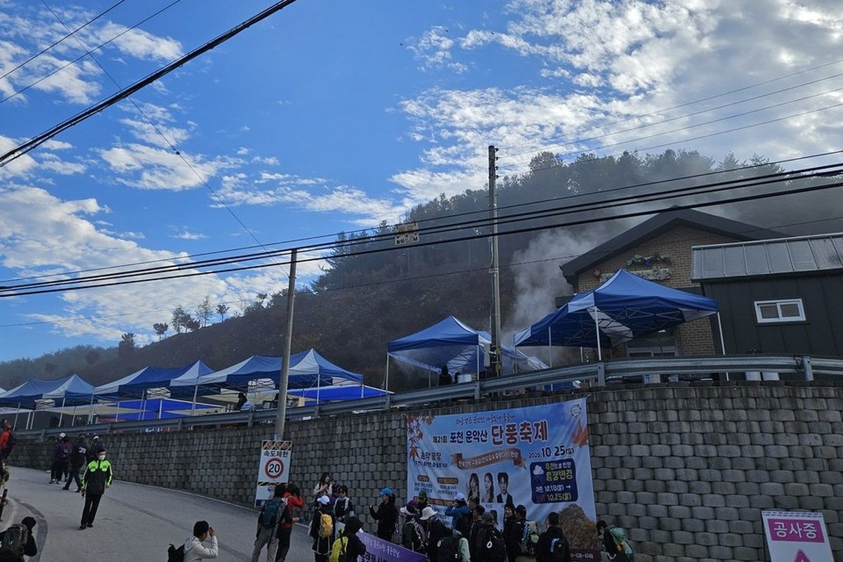
The festival matters too. The 21st Pocheon Unaksan Autumn Festival (포천 운악산 단풍축제) was moved from Oct 18 to Oct 25 because rain was forecast, and it was held at Unak Plaza, the same place the trail starts. The crowd was heavy, and parking was free that day. If you want the hike without the crowd, check the date first.
When did the sea of clouds show, and where were the colours?
Clouds filled the valleys through the whole climb. I took my first photo of a cloud band at 09:08, and at 10:03 the valley was still white. A sea of clouds usually burns off in the morning, but on this day it stayed late, perhaps because the day was warming up. The clearest view was at 10:03.
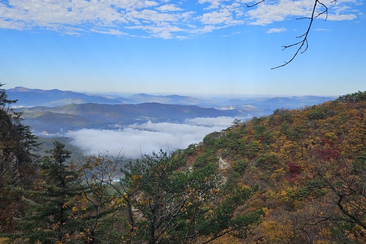
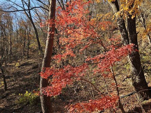
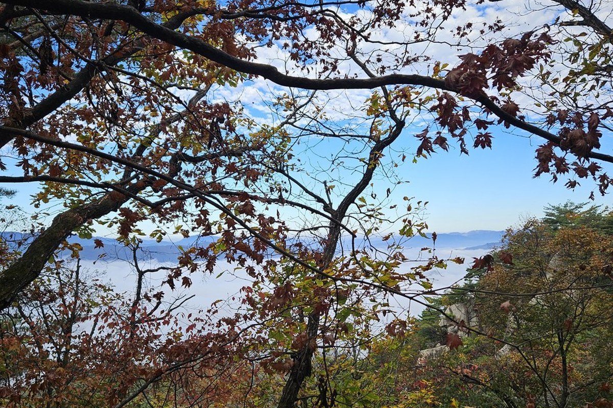
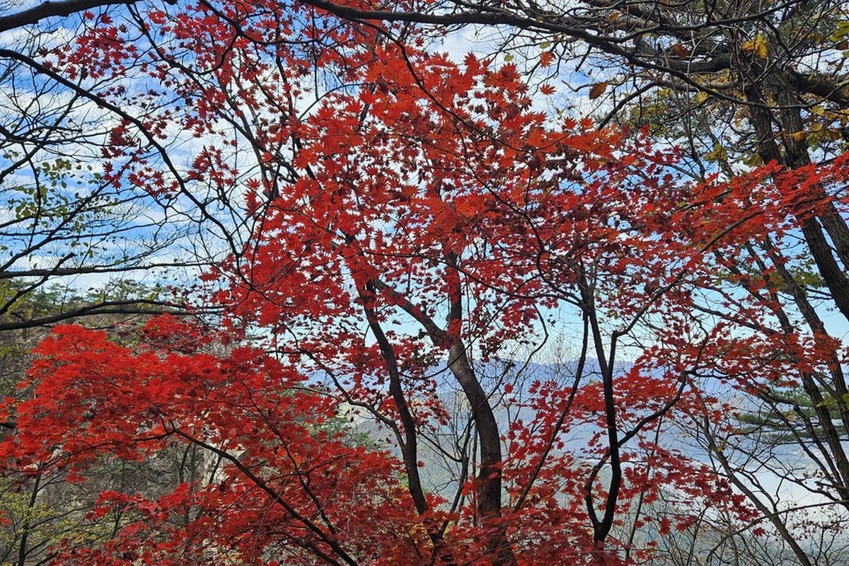
The colour was best at about four-fifths of the way up. The upper ridge had already lost most of its leaves. If the leaves are your goal, you can stop at that height.
Can you walk down the other side of the Cloud Road?
Not yet. I thought I would walk on past the Cloud Road and go down by Course 2, but I could not find the way onto Course 2, and I walked back down Course 1. A hiker I met said a trail is planned on that side. The map at the trailhead shows the part above the Cloud Road as a red dotted "planned project area" (사업예정지).
Pocheon city has said the same. In 2027 it plans a gentler trail from the end of the cliff walkway toward Daegwolteo (대궐터), meant for beginners who find the rocky ridge hard. It is also meant to join the Cloud Road to existing trails in a loop. Until it opens, treat the Cloud Road as an out-and-back.
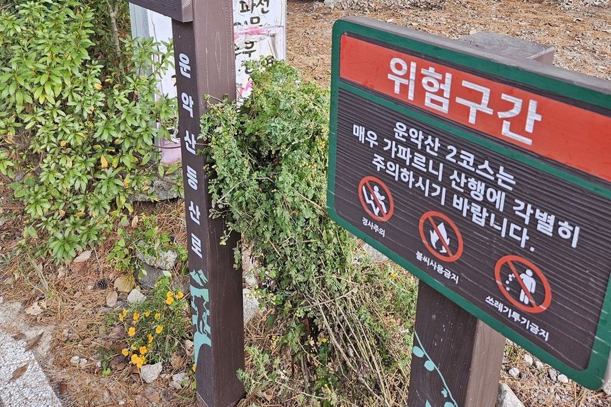
The fork at the start was part of my trouble. The signs for Course 1 and Course 2 are hard to tell apart, and both arrows point the same way. Next to them is a red danger sign: it says Course 2 is very steep and asks you to take great care.
Which of the five trails should you pick?
I have walked only Course 1, and only as far as the Cloud Road. The rest comes from the trailhead signs, Gapyeong county and the Korea Tourism Organization, plus my own slope calculation from terrain data.
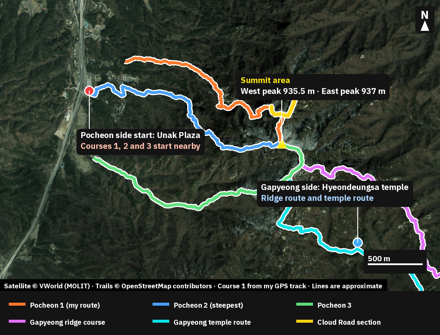
On the Pocheon side the trail map shows three courses, and all end at the west peak:
- Course 1 starts near Unak Plaza and passes the waterfall viewpoint and Sinseondae (신선대), then the Gungye palace site and Aegibong. It is the way to the Cloud Road. The sign gives 2 hours up.
- Course 2 starts from the Route 47 roadside, goes past Unaksa temple and Sokkori waterfall, and takes 2 h 30 min. It is the longest, and the trailhead sign warns that it is very steep.
- Course 3 starts from the Daewonsa (대원사) entrance and goes through Seoryeong-gol and Gwinso, then the east peak. The sign gives 2 hours.
Guides number the courses differently, and some swap Courses 1 and 2. If a name confuses you, go by the place names such as Sinseondae and Unaksa rather than the number.
On the Gapyeong side, the starting area is the Hyeondeungsa side. County guides describe a route past Eyebrow Rock (눈썹바위), Maitreya Rock (미륵바위) and Folding Screen Rock (병풍바위) to the peak, and a way down by Jeolgogae pass and Elephant Rock (코끼리바위) to Hyeondeungsa. Gapyeong's own suspension bridge is 210 m long and 1.5 m wide, opened on July 19, 2023 and free. It sits about 1.5 km uphill from the trailhead car park. It is a different bridge from the 41 m Cloud Bridge on the Pocheon side. Hyeondeungsa temple is open from 06:00 to 19:00 every day. Hiking guides put the Gapyeong loop at roughly 4 to 5 hours or more, but there is no official time.
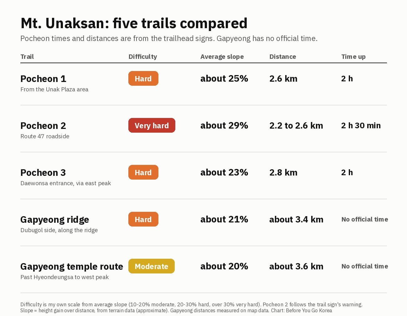
Slope is height gained over distance, and the numbers in the table are my own estimate from terrain data, so use them only to compare. For Pocheon 2, the "very hard" rating follows the trailhead warning. The Gapyeong routes look gentler on paper but they are longer, and hiking guides describe steep rock, stairs and ladders on the Gapyeong ridge.
How do I get to Unaksan by public transport?
Neither trailhead is within walking distance of a subway station, so you need one bus. Bus 7-1 now runs to Jinjeop Station on Line 4. Pocheon city extended it there on July 1, 2026, so you no longer need to change at Gwangneung. The stop to get off at is Unaksan Rest Area (운악산휴게소), close to the Pocheon trailhead. The Pocheon sign at the trailhead also lists buses 7 and 7-2.
For the Gapyeong side, bus 44 starts at Cheongpyeong Terminal (청평터미널) and stops at Unaksan·Hyeondeungsa entrance (운악산.현등사입구). If you walk across from Pocheon to Gapyeong, you will leave from a different stop from the one you arrived at, so look up the last bus first.
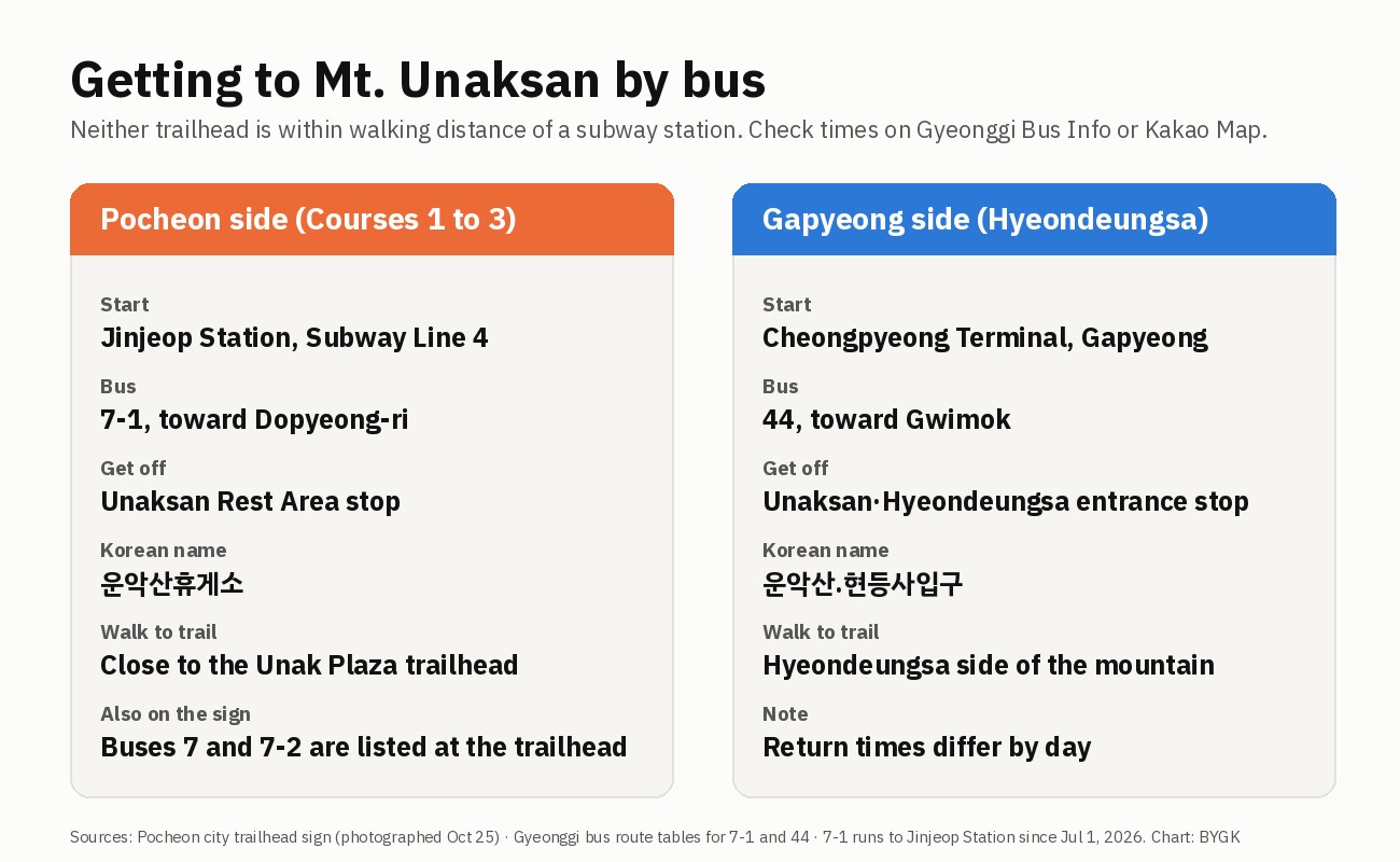
Timetables change by day of the week, so check the bus times for your date on Gyeonggi Bus Information (경기버스정보, it has an English page) or on Kakao Map.
Do I need hiking boots, and when should I go?
Yes, wear real hiking boots, with a firm sole. On the way up I passed foreign hikers, and every time I worried they would slip. It is not advice only for visitors, because the roots, bare rock and slack ropes are hard on anyone. If you are visiting from abroad without boots, my guide to renting hiking gear in Seoul lists three centers that lend hiking shoes.
Go on a weekday if you can. The bottleneck on the narrow parts and the crowd at the plaza were both worse because it was a festival weekend. Go early too: the sea of clouds fades as the day goes on. If you want an easier hike near Seoul first, try Bugaksan or the Bukhansan autumn trails.
The new trail to watch in 2027
The thing to follow is the 2027 trail from the end of the cliff walkway toward Daegwolteo. If it opens, the Cloud Road becomes a loop with a different way down, and I will walk it and compare the time with my 3 h 47 min. The ropes and the signs at the fork are the other things to follow. When something changes, the date at the top of this page will change too.
FAQ
Is the Unaksan Cloud Road open now?
Yes. Pocheon city opened it on Sept 7, 2026. It is 207 m long, with a cliff walkway of 88 m, stairs of 78 m and a bridge of 41 m, according to the sign at the entrance.
Can I walk down the far side of the Cloud Road?
Not at the moment. There is no path onward, so you go back down the way you came. Pocheon plans a gentler trail from the end of the walkway toward Daegwolteo in 2027.
How long does the Unaksan hike take?
The trail signs give 2 hours up to the west peak on Courses 1 and 3 and 2 h 30 min on Course 2. My out-and-back to the Cloud Road on Course 1 took 3 h 47 min on a crowded festival day.
How do I get to Unaksan without a car?
Take Subway Line 4 to Jinjeop Station, then bus 7-1 to the Unaksan Rest Area stop. For the Gapyeong side, bus 44 runs from Cheongpyeong Terminal.
Which Unaksan trail is the steepest?
Pocheon Course 2. The trailhead sign calls it very steep and asks for great care, and my slope estimate puts it highest of the five.
More hiking guides
Sources
- Trailhead and trail signs at Unak Plaza, on the mountain and at the Cloud Road (photographed by me on Oct 25, 2026): course names, times, the 207 m breakdown and the danger notice
- Pocheon city, Cloud Road opening, Sept 7, 2026 (Korean): WikiTree (opening date, about 800 m, the 2027 trail plan)
- Korea Tourism Organization / Korea Trip Tips and Gapyeong county: Hyeondeungsa opening hours and the Gapyeong summit marker (937.5 m), read Oct 26, 2026
- Twig24, July 19, 2023 (Korean): Gapyeong suspension bridge, 210 m, free
- WikiTree (Korean): the Five Peaks of Gyeonggi and the location on the Pocheon-Gapyeong border
- Pocheon city, bus 7-1 extended to Jinjeop Station from July 1, 2026 (Korean) · route tables for buses 7-1 and 44 on the national and Gyeonggi bus systems, read Oct 26, 2026
- Satellite image: VWorld (Ministry of Land, Infrastructure and Transport). Trail lines: OpenStreetMap contributors. My track: recorded with Geo Tracker on Oct 25, 2026
— SeoulAslan


Comments
Post a Comment