


 SetPaying for Seoul transport
 Hi, I’m SeoulAslan
Korea Dulle Trail for Beginners: Durunubi App, Stamps (2026)
Checked Oct 11, 2026

The Korea Dulle Trail (코리아둘레길) is a walking route of about 4,500 km around the edge of South Korea, made of four trails and 284 courses. To start, install the free Durunubi app, pick one course, and scan the QR code on the information board at its start or end point. That gives you your first stamp. Haeparang Trail Course 1 in Busan (16.9 km) and Seohaerang Trail Course 93 near Seoul (11.9 km, almost flat) are easy places to begin by public transport.
I go up a mountain about twice a month and travel to all corners of Korea. I also lived in Vietnam for six years and in Thailand for a year. So this guide is written for someone who has never walked the Dulle Trail, using Durunubi's Korean and English pages and the Ministry of Culture's own announcements.
Jump to: What it is · Durunubi app · Stamps and certificate · Where to start · What to bring · When to go · East-West Trail · FAQ
What is the Korea Dulle Trail?
It links Korea's east, south and west coasts and the DMZ border area into one loop. The last section, the DMZ Peace Trail, opened on September 23, 2024, with a ceremony at the Goseong Unification Observatory, and that completed the whole route.
| Trail | From → to | Courses | Length | Opened |
|---|---|---|---|---|
| Haeparang Trail (해파랑길), east coast | Oryukdo Sunrise Park, Busan → Unification Observatory, Goseong | 50 | 750 km | May 2016 |
| Namparang Trail (남파랑길), south coast | Oryukdo Sunrise Park, Busan → Ttangkkeut Tower, Haenam | 90 | 1,470 km | Oct 2020 |
| Seohaerang Trail (서해랑길), west coast | Ttangkkeut Tower, Haenam → Peace Observatory, Ganghwa | 109 | 1,800 km | Jun 2022 |
| DMZ Peace Trail (DMZ 평화의 길) | Peace Observatory, Ganghwa → Unification Observatory, Goseong | 35 | 510 km | Sep 2024 |
The names mean something. "Haeparang" joins the rising sun (hae), the blue sea (parang) and "rang", meaning "together with". Namparang is walking with the deep blue southern sea, and Seohaerang is walking with the western sea.
The DMZ Peace Trail works differently. Its crossing route is open to everyone, but its theme routes need a tour booking, and a few crossing courses are marked "reservation route" too.
Does the Durunubi app work in English?
Durunubi (두루누비) is the Korea Tourism Organization's app and website for the trail. The app is free, and its App Store page lists English and Korean as languages. The website also has an English version: switch it with the "English" link at the top.
Each course page shows the length, time, difficulty, which bus to take to the start and from the end, and where the toilets and shops are. On the trail, turn on Follow and walk along the course line.
After an app update, Durunubi posted a notice on Oct 6, 2026: Follow is now the first button on the bottom bar, and QR is the second. There's also an SOS button for phone or text emergency reports.
How do you get a Durunubi stamp, QR or Follow?
Either one works. Durunubi's guide gives two ways to get a stamp for a course:
- QR code: at the start or end of the course, find the QR code on the information board and scan it in the app.
- Follow: each course has 7 required checkpoints. Pass at least 3 with Follow switched on and the stamp is added automatically.
You can walk a course in either direction, start from the middle, and leave the route for a meal and come back. Durunubi's FAQ says all of these still count.
Collecting the stamps doesn't issue a certificate by itself. Log in on Durunubi and go to My Page → Completion Certificate → Apply. You can apply once for each of the four trails, and after approval the certificate and a small souvenir are sent by post. Durunubi warns that stamps collected by driving between checkpoints may not be accepted.
Other proof also counts: the separate Korea Dulle Trail Stamp Tour app, screenshots from other walking apps, or the paper course book.
Which Korea Dulle Trail course should a beginner walk first?
Durunubi picks 45 recommended courses in four groups: scenery, history and culture, regional symbols, and "hard walking". Leave hard walking for later. These three are all in the 45, rated easy or average, and reachable by public transport.
| Course | Length · time · level | Getting to the start | Getting to the end point |
|---|---|---|---|
| Haeparang Course 1, Busan Oryukdo Sunrise Park (오륙도 해맞이공원) → Haeundae | 16.9 km · 6 h 30 min · average | City bus 27 from Busan Station to Oryukdo Skywalk (오륙도스카이워크) | Express bus 1003 from Busan Station to Haeundae Beach (160 m walk), or Haeundae Station on Busan Line 2 (560 m walk) |
| Seohaerang Course 93, Siheung → Incheon Baegot Hanul Park (배곧한울공원) → Namdong Sports Center | 11.9 km · 4 h · easy | Seoul Subway Line 4 to Oido Station, bus 99-3 to Hanul Park Seawater Experience Center, 200 m walk | Incheon Line 2 to Namdong-gu Office Station, bus 56 to Namdong Sports Center (300 m walk) |
| Haeparang Course 33, Donghae Chuam Beach (추암해변) → Mukho Station entrance | 13.6 km · 4 h 30 min · easy | Bus 11-1 from Samcheok Bus Terminal to Jeungsan (증산) | Bus 21-3 or 154 from Donghae City Bus Terminal to Donghae Plaza |
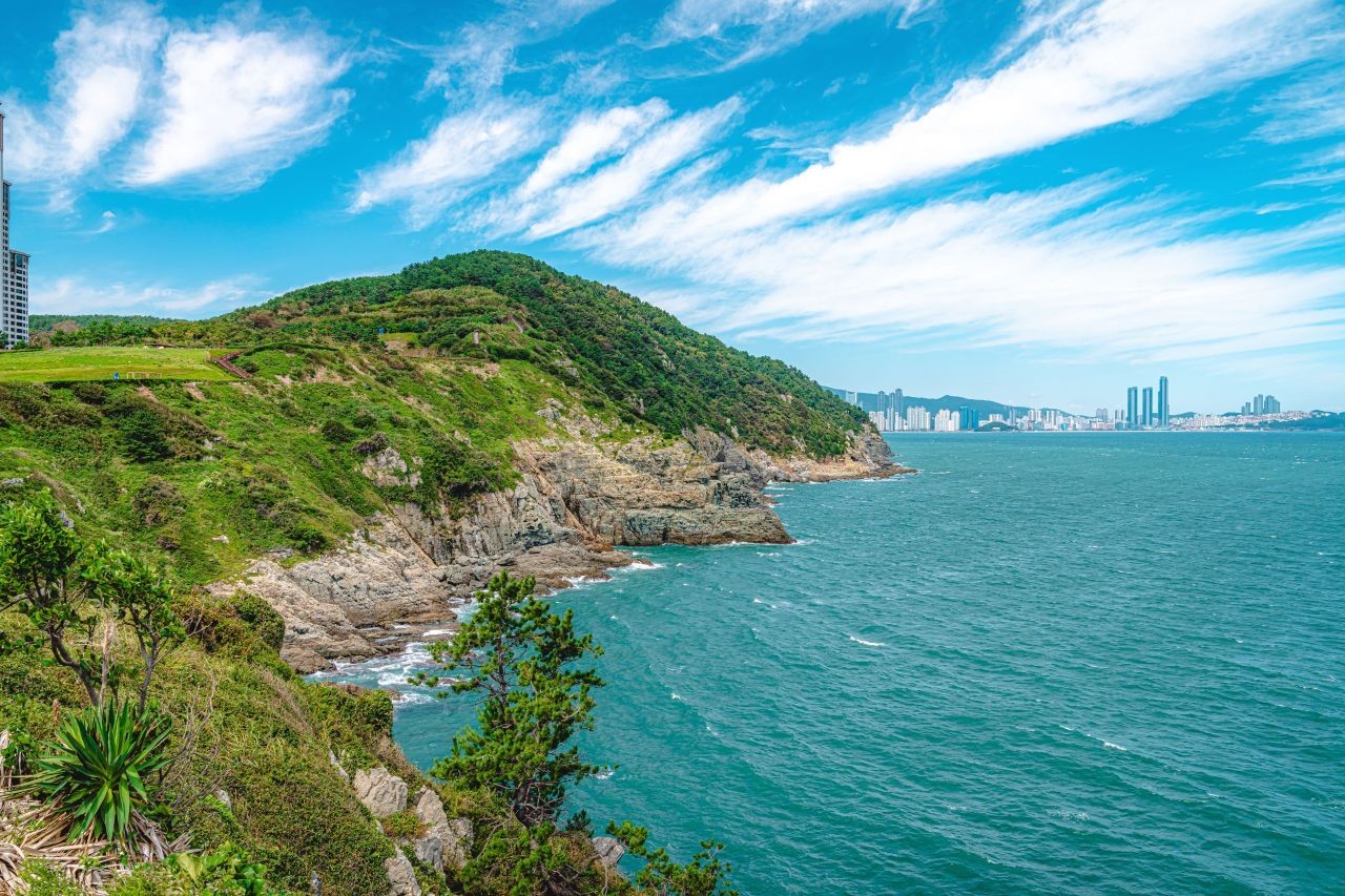
Haeparang Course 1 is where the whole 750 km east-coast trail begins. Oryukdo has a Haeparang Trail tourist information center, and the stamp box is right next to it. The route runs along the Igidae sea cliffs, then Gwangalli Beach, Dongbaek Island and Haeundae, so there are toilets and convenience stores along the way. Durunubi suggests timing it for the evening lights at Gwangalli, starting about two hours before sunset.
Seohaerang Course 93 is the easiest one to reach from Seoul. The elevation table on its page lists heights of 0.1 to 2.7 m, so it's essentially flat. It crosses the old Sorae Railroad Bridge, once used by the narrow-gauge Suin Line and now a footbridge, and ends near Sorae Wetland Ecological Park, built on old salt fields.
That bridge means something to me. When I was a kid, I was crossing it on foot with my mom and dad. People walked across it when no train was coming, and you could see straight down through the gaps, which scared me a lot. Halfway across, a train started coming. My father put me on his back and ran.
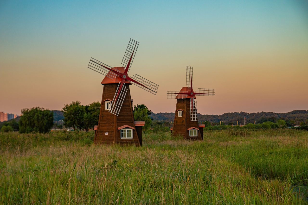
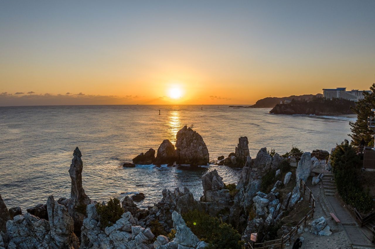
Haeparang Course 33 starts at Chuam Beach with its Candlestick Rock (촛대바위) and follows town walkways and beaches through Donghae. Chuam Beach, Donghae Station, Hanseom Beach and Mukho Station all have toilets and shops.
Check for detours first. On Oct 6, 2026, all three course pages had a construction detour notice: around Suyeong Bay Yacht Stadium on Course 1, along the Baegot coast on Course 93, and on the Jeoncheon stream path on Course 33. Open the course page on Durunubi the day before you go.
What should you bring for a Korea Dulle Trail walk?
Only what Durunubi's own safety guide lists:
- Pack light: two or three changes of clothes for longer trips, sunscreen, a hat and a phone charger.
- Food and water: water from the start, and emergency food for two meals (bread, cereal bars) because there may be no restaurant.
- Blisters: a thin cloth tape on spots that usually blister.
- Knees and ankles: the guide suggests walking poles (Nordic walking), and stopping to see a doctor if pain starts.
- On roads: walk in single file at the edge.
When should you walk it?
Durunubi advises walking between 09:00 and 18:00 in summer and 09:00 and 17:00 in winter, and avoiding bad weather. Korea also runs a walking-trip week in the first and second half of each year. The autumn 2026 week ran Oct 1–11 as "Korea Dulle Trail × East-West Trail", with a stamp challenge for walks recorded with Follow.
What is the East-West Trail?
The East-West Trail (동서트레일) is a forest trail being built by the Korea Forest Service. It crosses the middle of the country for about 850 km, from Taean on the west coast to Uljin on the east. The two trails meet around Mongsanpo Beach in Taean, where Seohaerang Course 65 and East-West Trail Section 2 overlap. Construction began in 2023, and the whole route is due to open in the second half of 2027, so check the Forest Service before planning a walk on it.
FAQ
How long is the Korea Dulle Trail?
About 4,500 km in 284 courses across four trails: Haeparang (750 km), Namparang (1,470 km), Seohaerang (1,800 km) and the DMZ Peace Trail (510 km).
Which parts of the Korea Dulle Trail need a booking?
The DMZ Peace Trail's theme routes need a tour booking, and a few of its crossing courses are marked "reservation route" on Durunubi.
Does a QR scan count, or only the Follow function?
Both count. Scan the QR at the start or end of a course, or pass 3 of the 7 checkpoints with Follow on.
Is the completion certificate automatic?
No. After collecting every stamp on a trail, apply on Durunubi under My Page → Completion Certificate. One application per trail.
What is the easiest Korea Dulle Trail course from Seoul?
Seohaerang Course 93: 11.9 km, about 4 hours, rated easy and almost flat. Take Line 4 to Oido Station, then bus 99-3.
Detours and the 2027 opening
I'll watch when the detours on these three courses come off, and how the East-West Trail links up with the coastal routes when it fully opens in 2027.
Sources
- Durunubi: Korea Dulle Trail introduction · user guide (stamps, certificate) · FAQ · 45 recommended courses (Korean and English pages, checked Oct 6, 2026)
- Durunubi course pages: Haeparang 1 · Seohaerang 93 · Haeparang 33
- Durunubi safety guide (Korean) · Durunubi notice on the Follow and QR buttons, Oct 6, 2026
- Ministry of Culture, Sports and Tourism, Sep 23, 2024: 4,500 km route completed (Korean) · Sep 9, 2026: Korea Dulle Trail × East-West Trail walking week (Korean)
- Durunubi on the App Store · Google Play
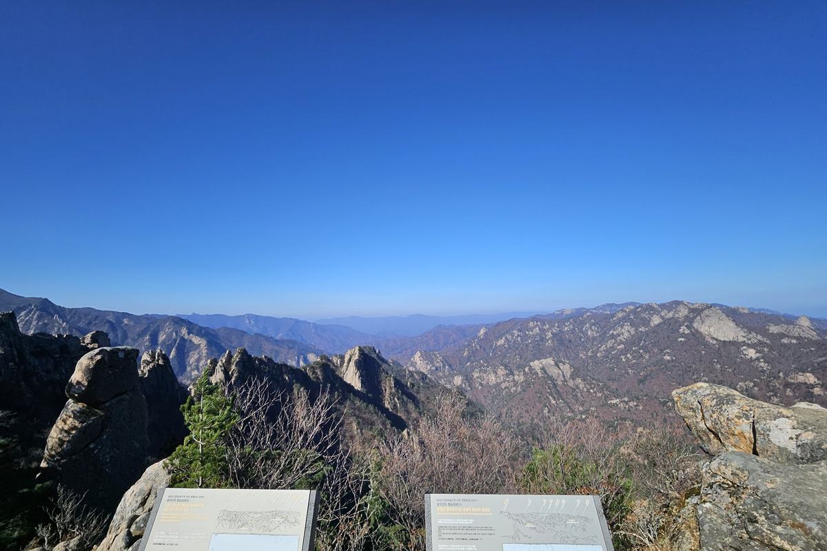
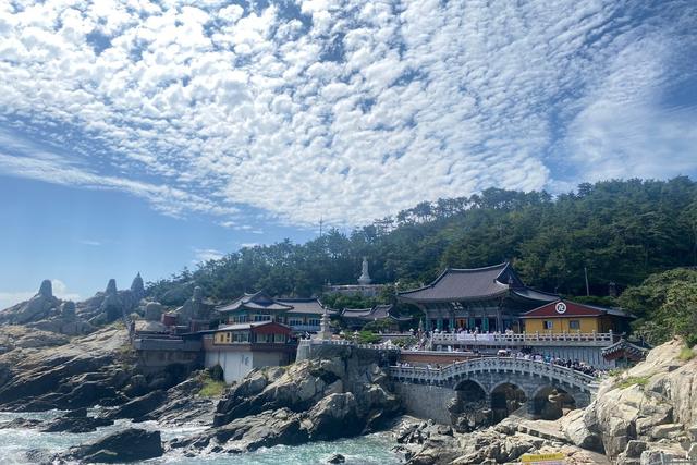
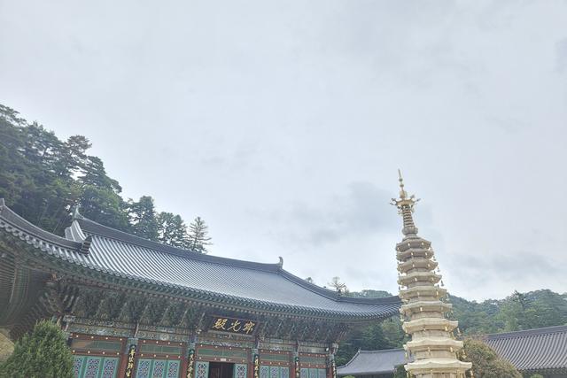
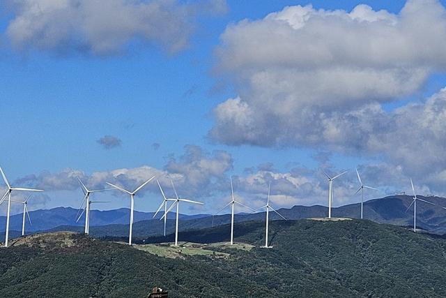
- Photos: Korea Tourism Organization photo gallery, Korea Open Government License Type 1
— SeoulAslan


Comments
Post a Comment